Update

I have decided to end the trip. I will still get everything that happened along the way on the blog in time.

Dec 21, 2025

Reaching the Pacific

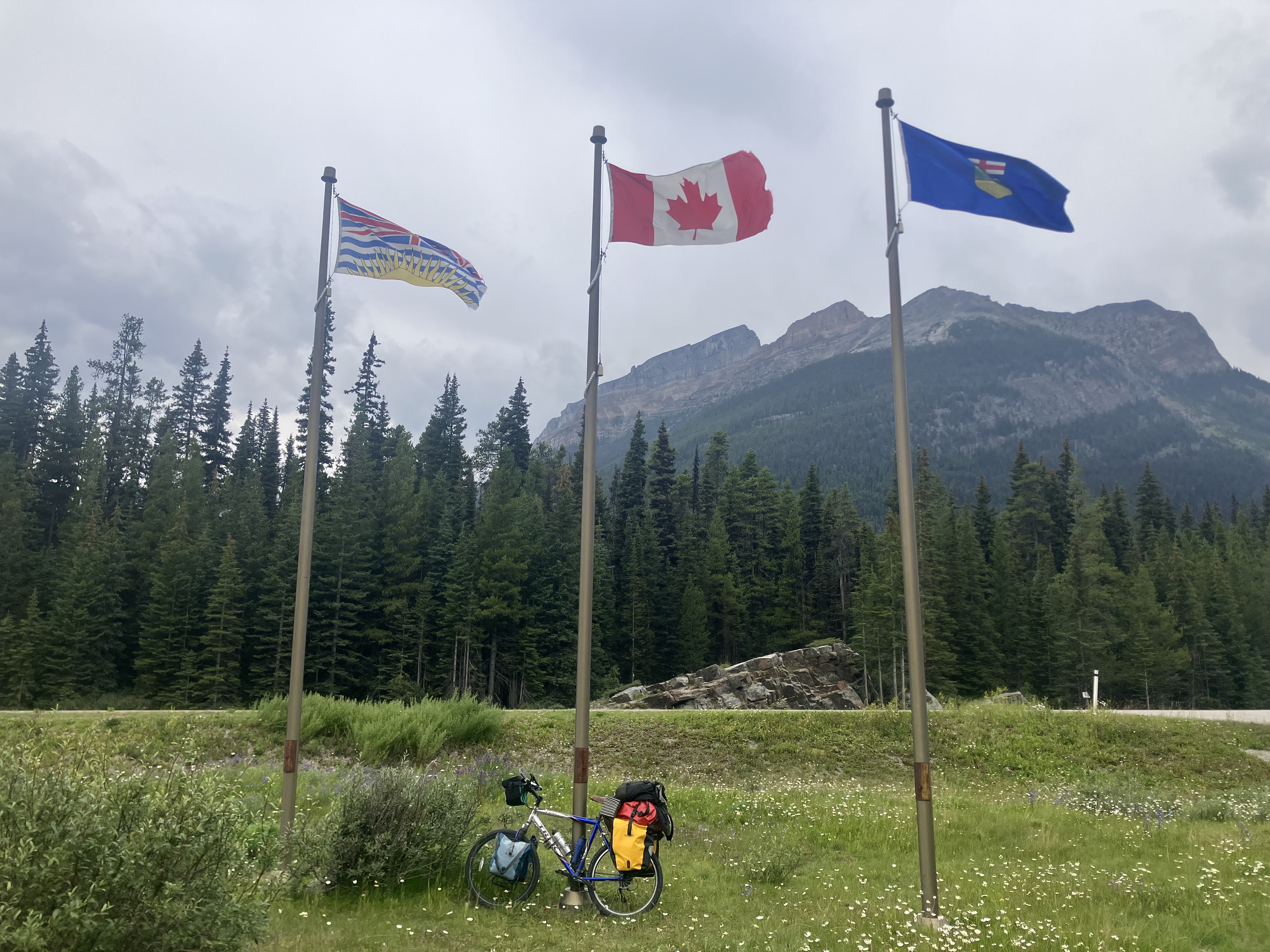
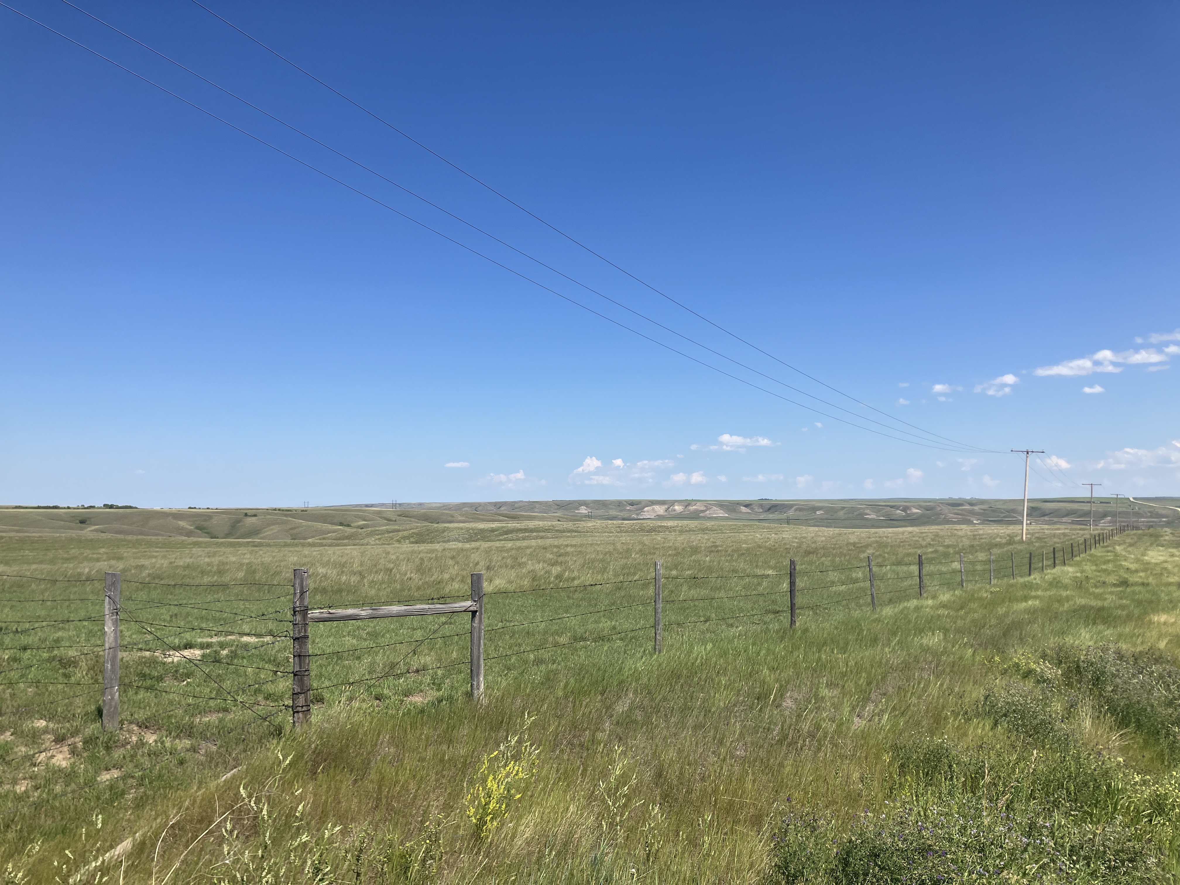
     I was now on the final stretch on my journey of crossing Canada. What seemed so far away and at times what seemed impossible was now in reach. Making it to the Pacific Ocean and being able to say that I've crossed the entire country, from Atlantic to Pacific, was so close now. I only had about half of BC to go yet and the closer I got, the more and more I thought about how close I was and how I wanted to make it to the ocean. Eventually as I neared the end of my crossing, my thoughts would be dominated about how badly I wanted to finish, but before all that, I was still near Grand Forks on the Trans-Canada Trail.

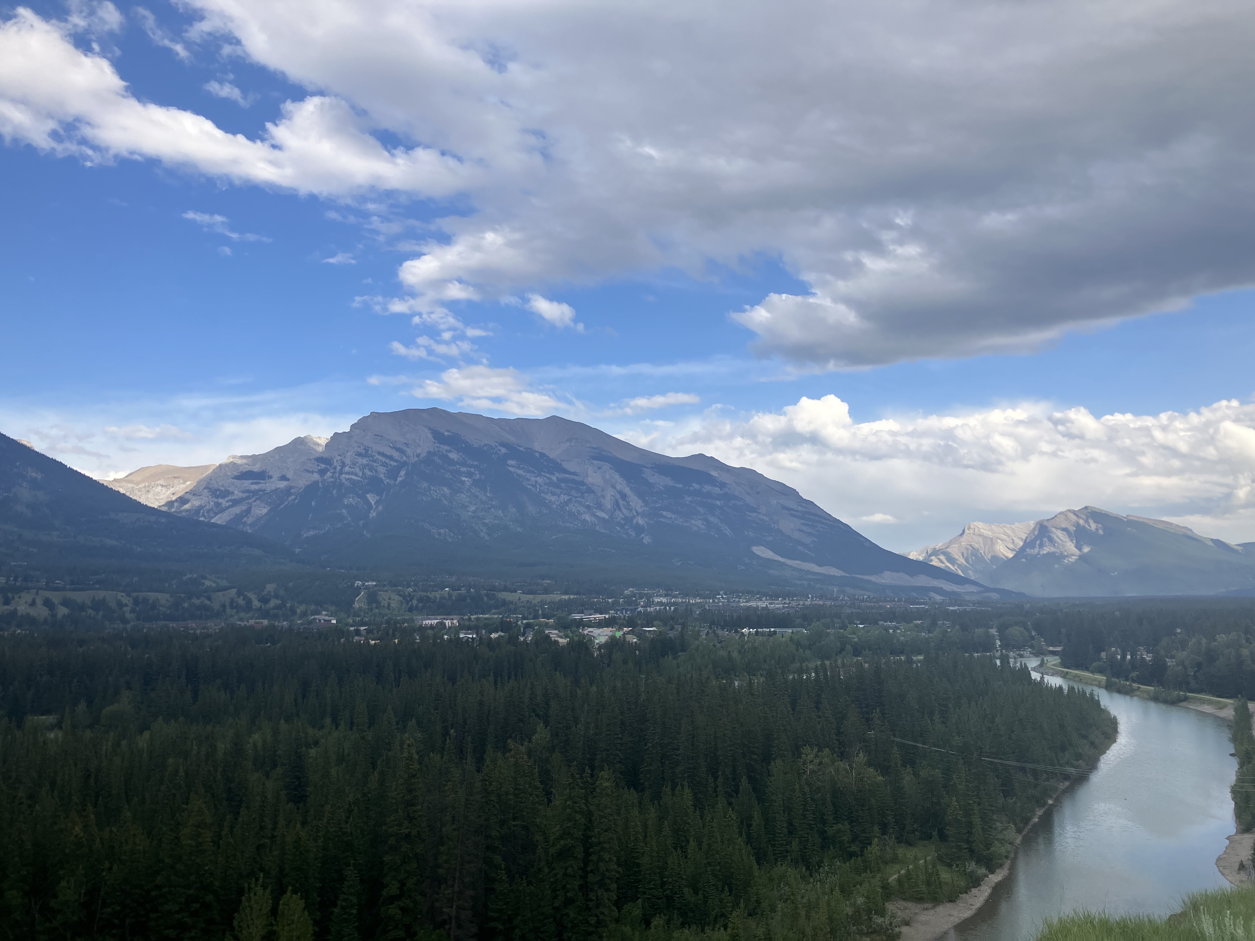
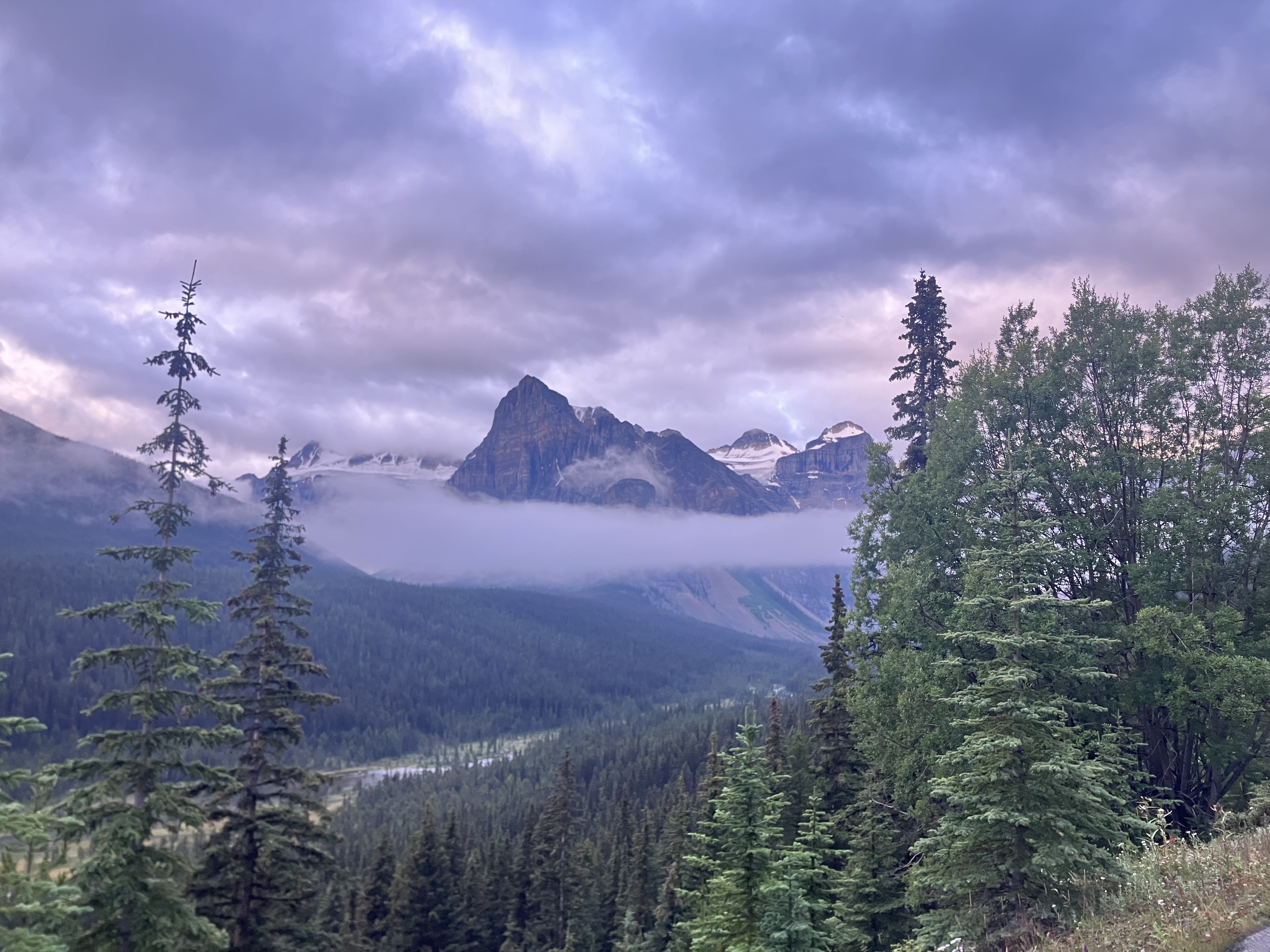
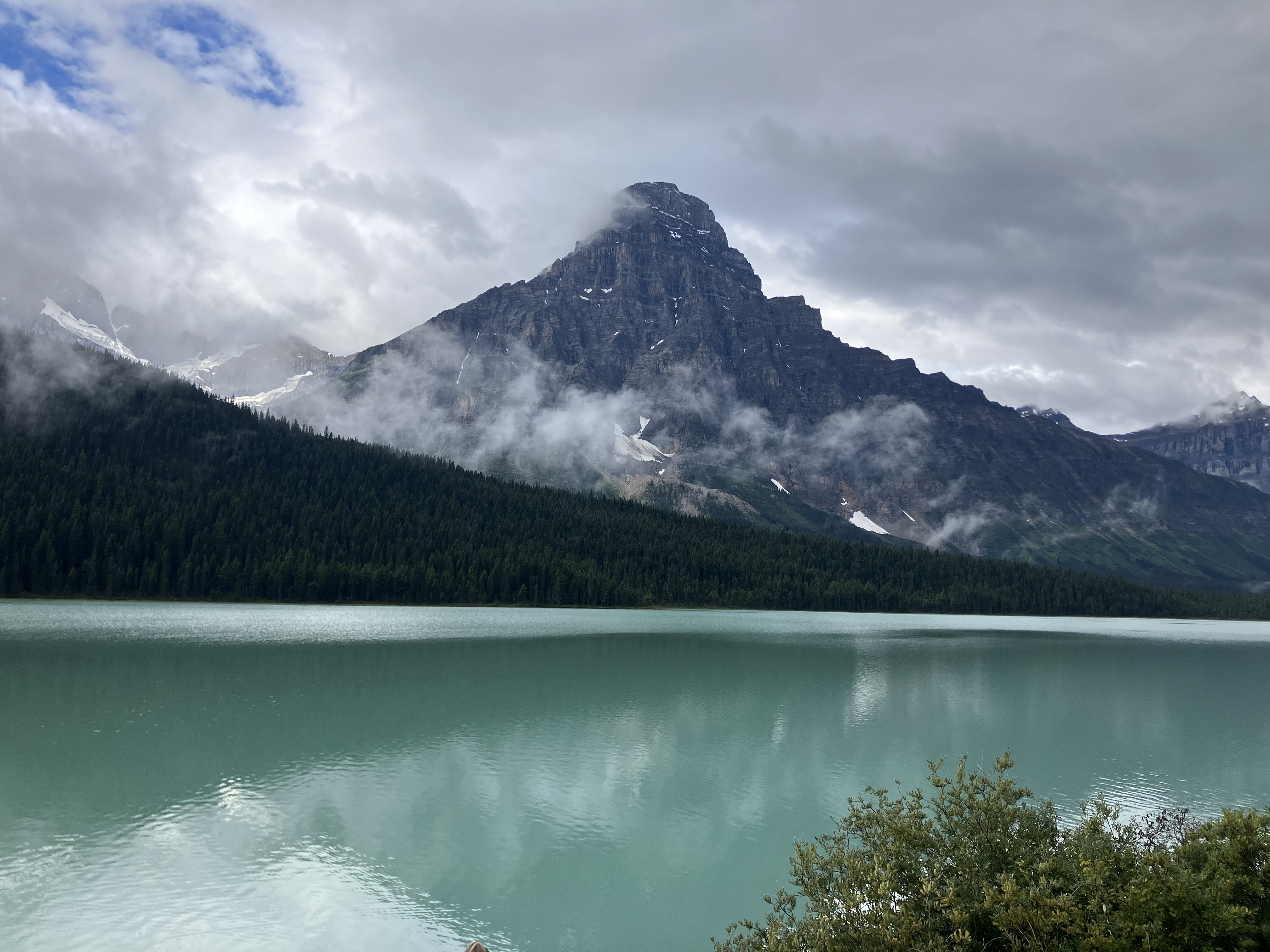
I awoke to a nice view of the valley below me, with mist sitting over the river. I've always liked to take my time in the morning and move at my own pace, so Rochelle was much faster than me and ended up leaving about an hour before I did. I was starting to learn from looking at my map, where the best spots for camping would likely be along the trail and had pointed out to Rochelle where I though I might stop for the night before she left.

Early morning mist over the valley

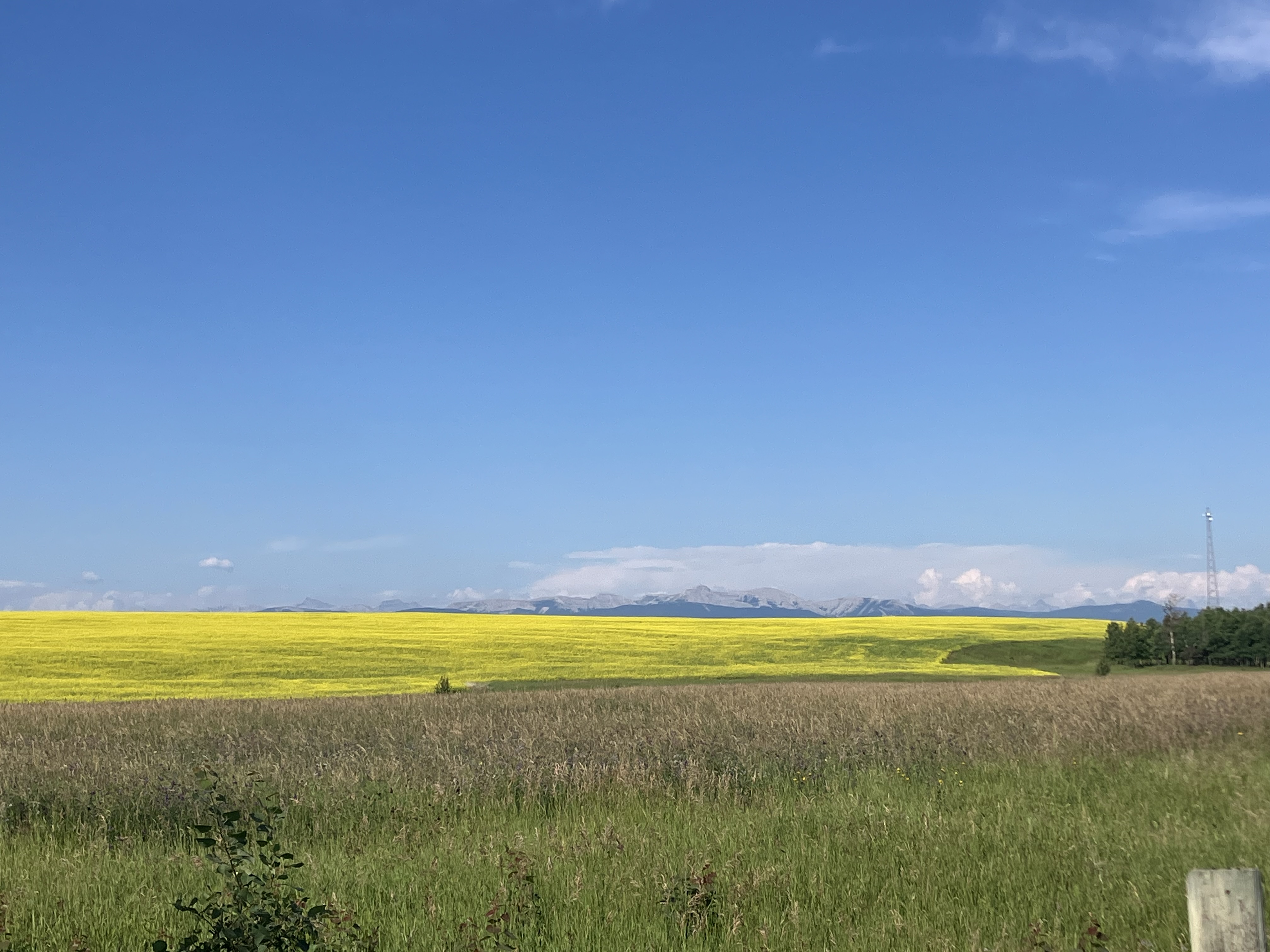
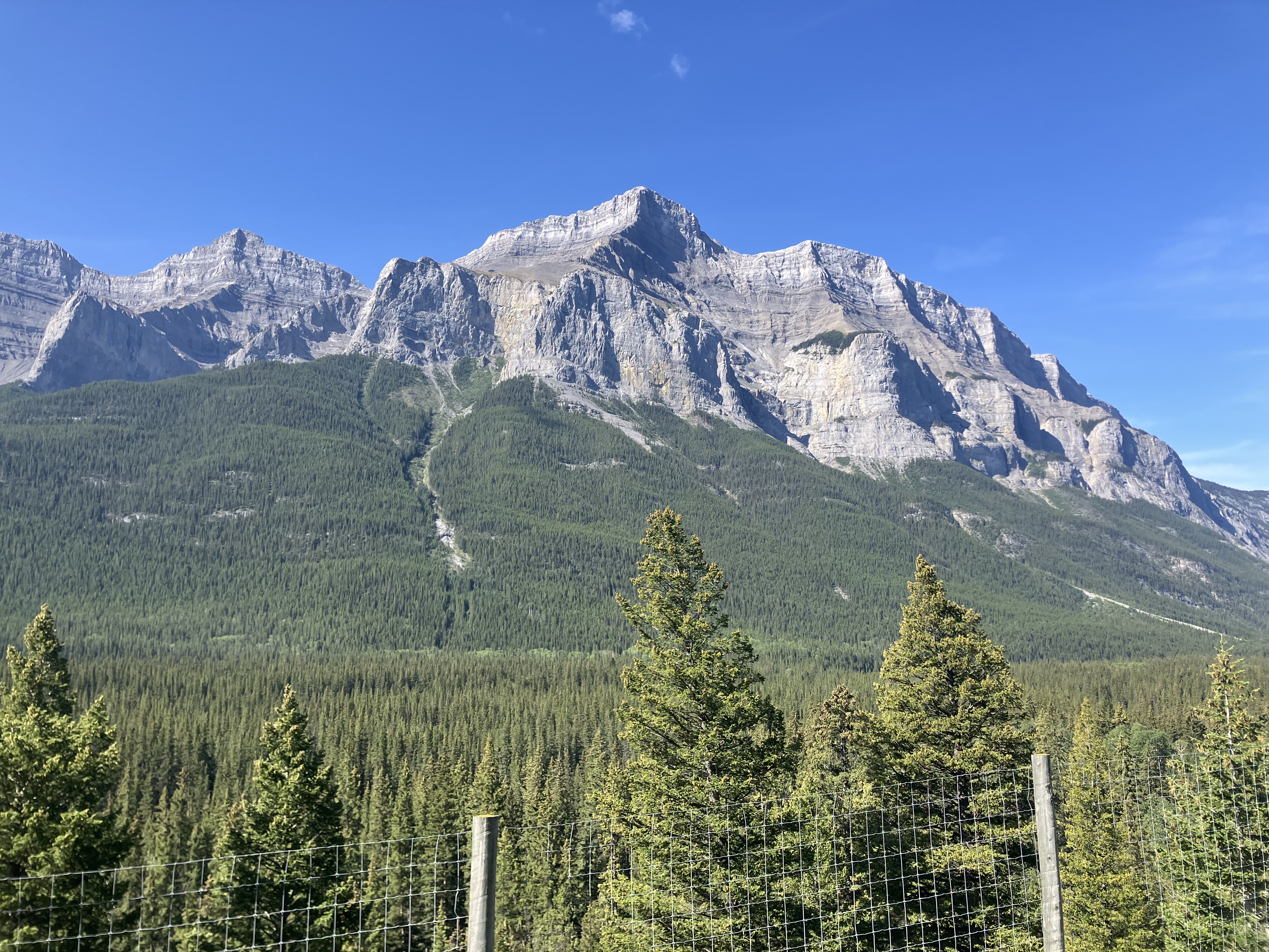
The trail started the day the same way it had been for the past couple days, but would soon change as I neared Midway and the start of the Kettle Valley rail trail (KVR). It was no longer isolated away from everything but instead going through villages, farms and other places. This lead to the trail constantly changing but still being beautiful the whole stretch. Along the way were more tunnels, forest, singletrack, farm fields, orchards, mountains and lots of gates that you had to stop to open and close. Once I officially reached the start of the section considered the KVR, I started to see more cyclists along the trail as this is a trail that a lot of people go to ride. I met a couple of sisters (I can't remember their names) that I rode with for a little while and would run into again later in the day.

I would end up reaching the spot I thought would be good for camping, which it was, and ended up stopping there for the day. It was raised up a ways above the Kettle River with a picnic table but I was able to get down to the river from there to swim, wash up and do some laundry. I was somewhat surprised that Rochelle wasn't there and I guessed she must've gone further ahead as I hadn't passed her along the way. However a few minutes after I got there, I noticed some smoke coming from just ahead along the river. I went to check it out and down on a little beach, right below my raised section where I had stopped, was Rochelle with a campfire going. Somehow we had ended up in the same spot now 3 nights in a row.

This was one of those really nice spots that I was in no rush to leave, so I took my time in the morning and like the previous couple days, Rochelle was on the road a good while before me with no idea if we'd run into each other again or not. There wasn't much to see as the trail was nothing but forest all day. There was construction along the trail at one point though. The detour around it reminded me a lot of the Gray Creek pass (but much shorter obviously), so I wasn't exactly the happiest riding that after taking on Gray Creek a few days before. I found a good spot along the trail to camp for the night but there was a campground a bit further ahead, so I decided to check it out to see if I could get water there. To my surprise, at the campground was Rochelle who I had run into now for the 4th night in a row. We talked and made supper before I went back to the spot I had found a little earlier.

KVR

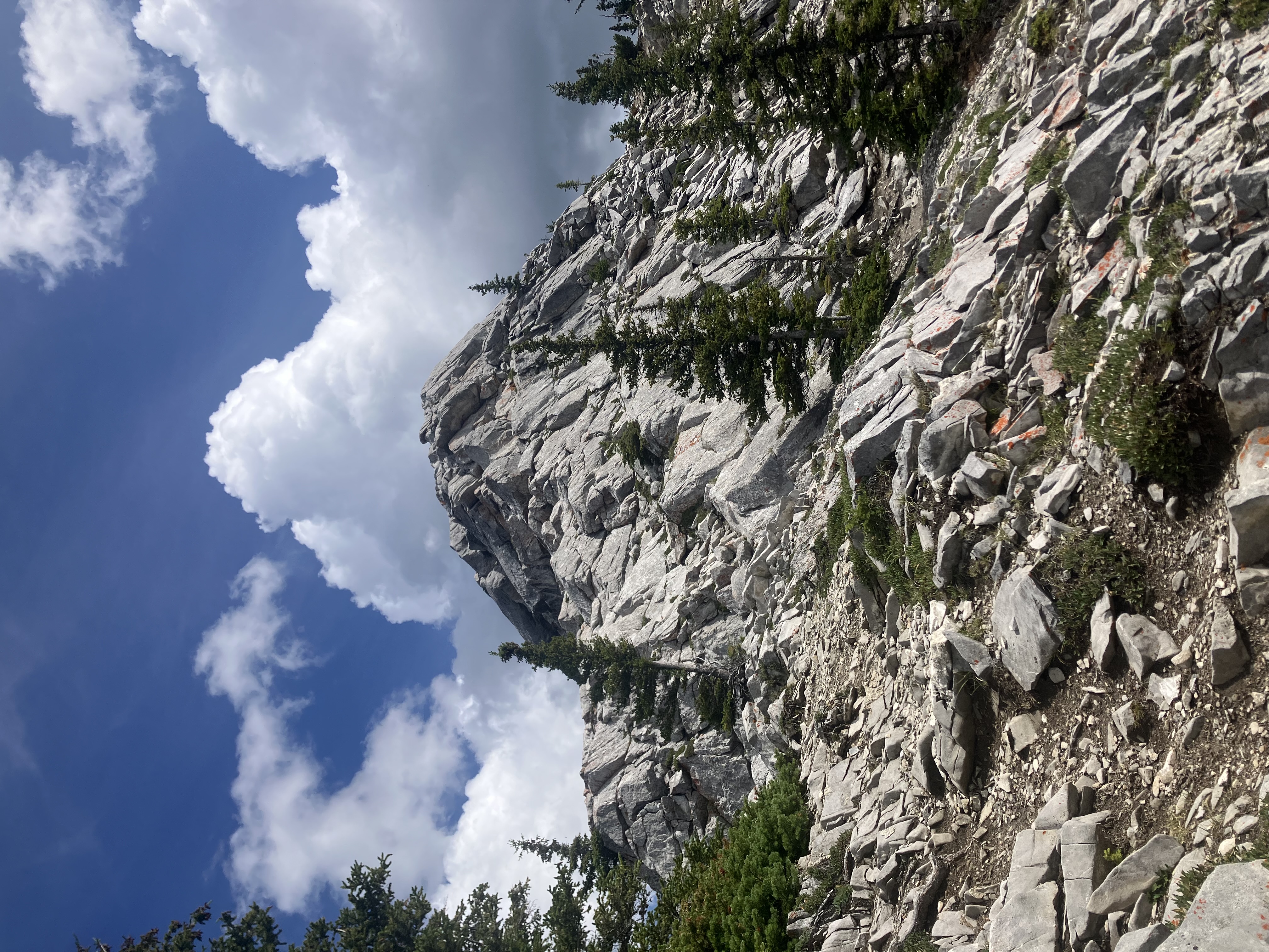
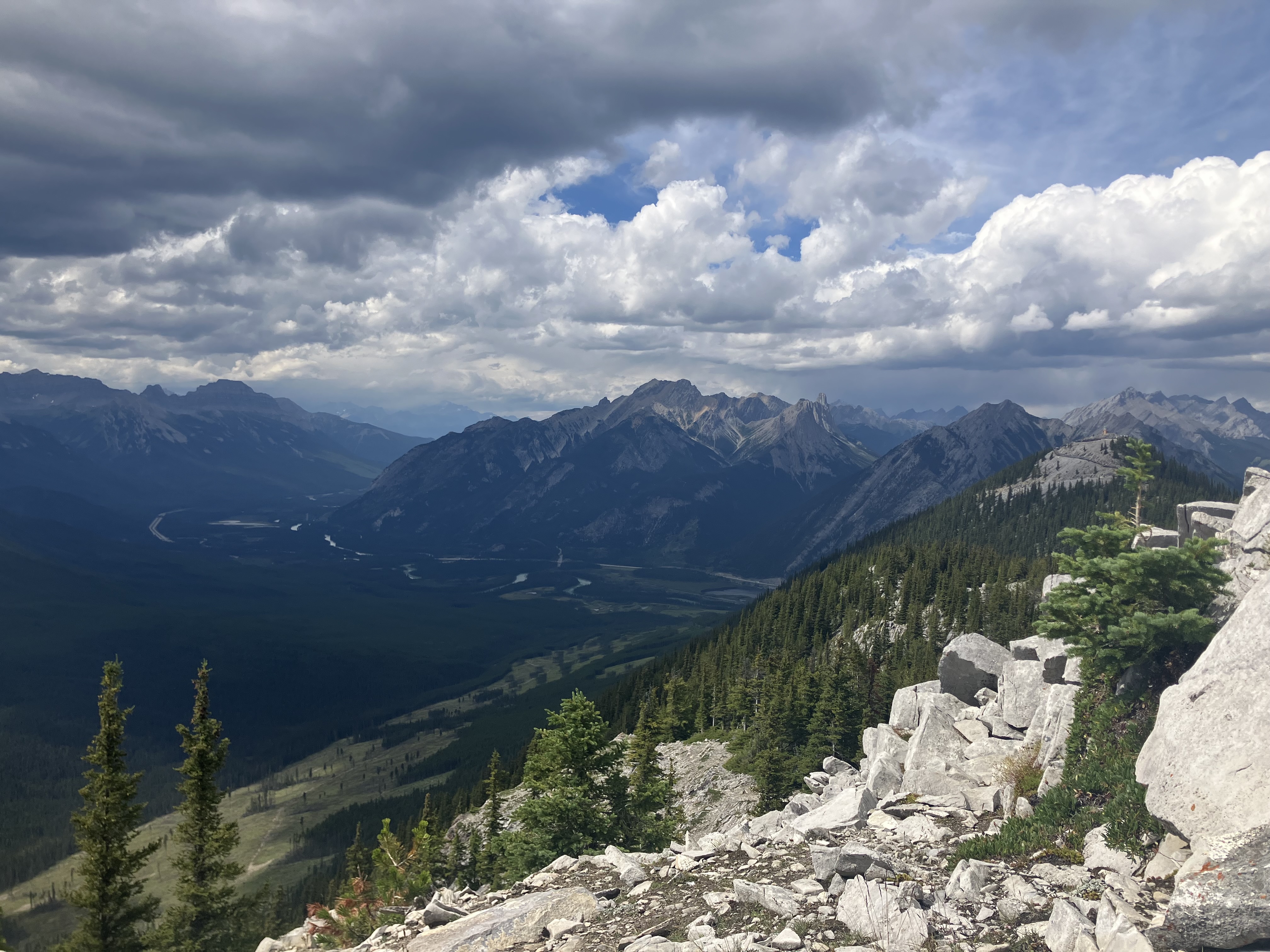
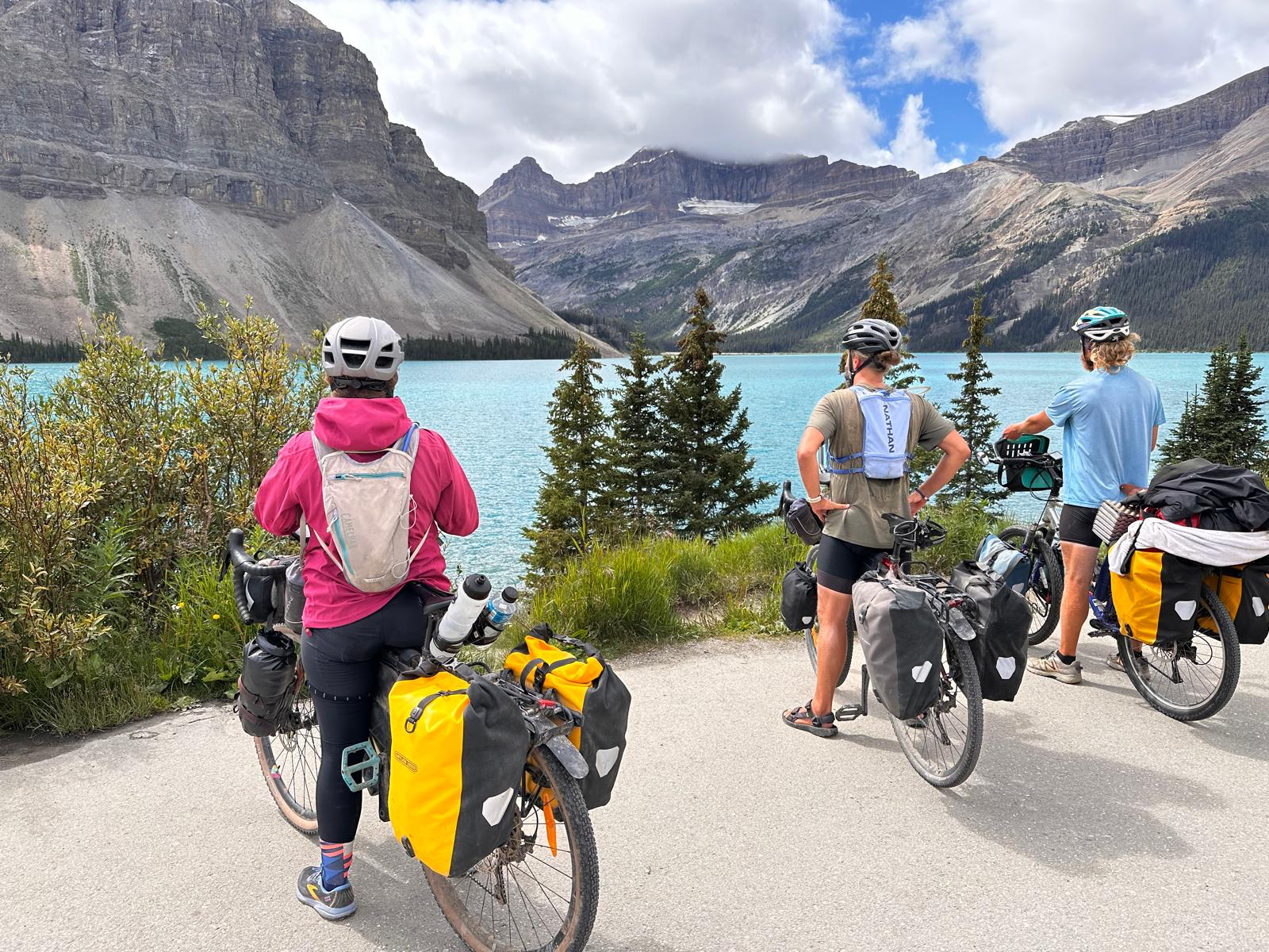
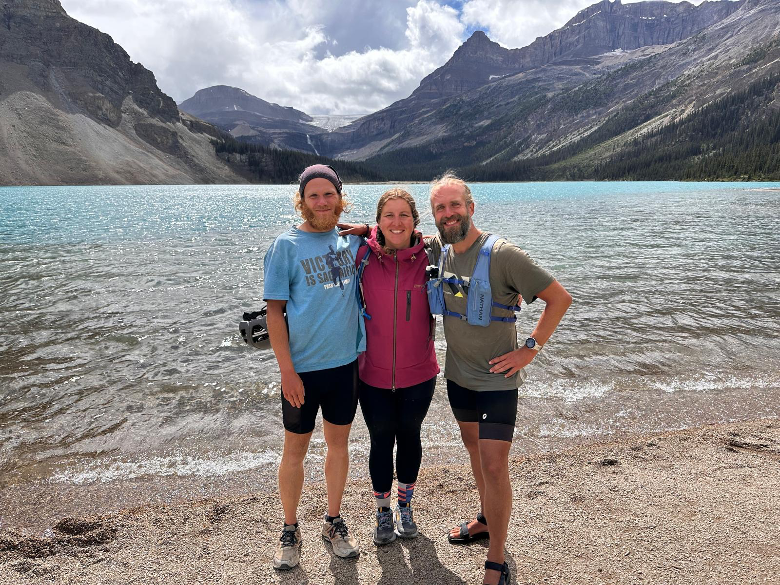
It was nice to be able to run into and talk with the same person a few days in a row, but this would almost certainly be the last time we'd run into each other, as Rochelle was gonna keep going on the trail, while I planned to explore Kelowna. I was on the bike early and before riding down into Kelowna, I went a bit further on the trail so I could see Myra Canyon. Myra Canyon was really nice with all of its trussell bridges and the view of Kelowna down below past the canyon. It was a little unfortunate though how it was plugged full of tourists. After getting around the canyon, I doubled back around the canyon to get to the FSR that would go down into Kelowna. On the way back, I ran into Rochelle one final time as for the first time, I was the first one on the bike in the morning.

Myra Canyon over Kelowna
Myra Canyon trussell bridge
Myra Canyon

Once I made it down the FSR, I was greeted with lots of orchards along the edges of Kelowna. I was now in the Okanagan Valley and getting a little look into why it's so renowned for its produce. Kelowna might've been the greenest city I've ever seen (I really haven't seen that many cities though), as it almost seemed like the orchards were trying to bleed into the city. There was a nice bike path near Lake Okanagan too that lead to the bridge that crossed the lake. I took advantage of all the produce stands along the edge of the city and stocked up on some fresh fruit before leaving.

Orchard in Kelowna

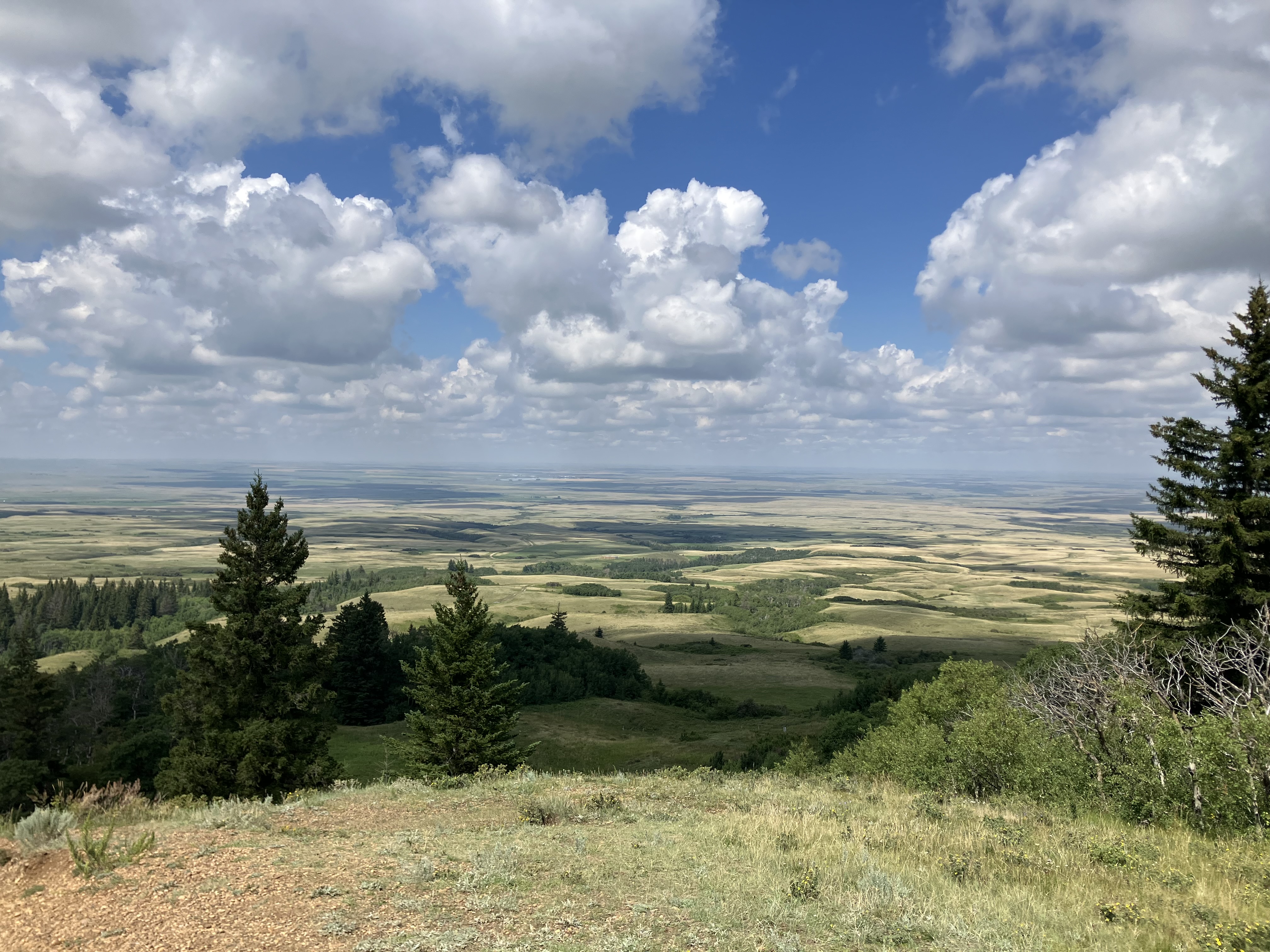
The next day I got to ride along Lake Okanagan as I headed south from Kelowna. The ride was along the edge of the highway there, which is advertised as a bike route, but I really didn't feel overly comfortable riding there. It did provide amazing views out over the lake and the hills that towered over it though. I was able to get off of the highway and back to a quieter route after Summerland though. Leaving Summerland I got to ride through plenty more orchards and vineyards before leaving civilization behind again. There's a road that goes from Summerland to Princeton which I would've thought would have a good amount of traffic on it, but it turned out to rarely have any vehicles going along it. The trail went along the same route but was sandy and hard (at times impossible on my heavy bike) to ride, so I ended up mostly staying on the nice empty dirt road instead. I would get back onto the trail later to find a camping spot and ended up finding a great spot with a little shelter that local snowmobilers had built. It was such a quiet and peaceful night there and it was one of the rare nights I was able to sleep without the outer layer of my tent making it even nicer and peaceful.

Lake Okanagan
Outside of Summerland

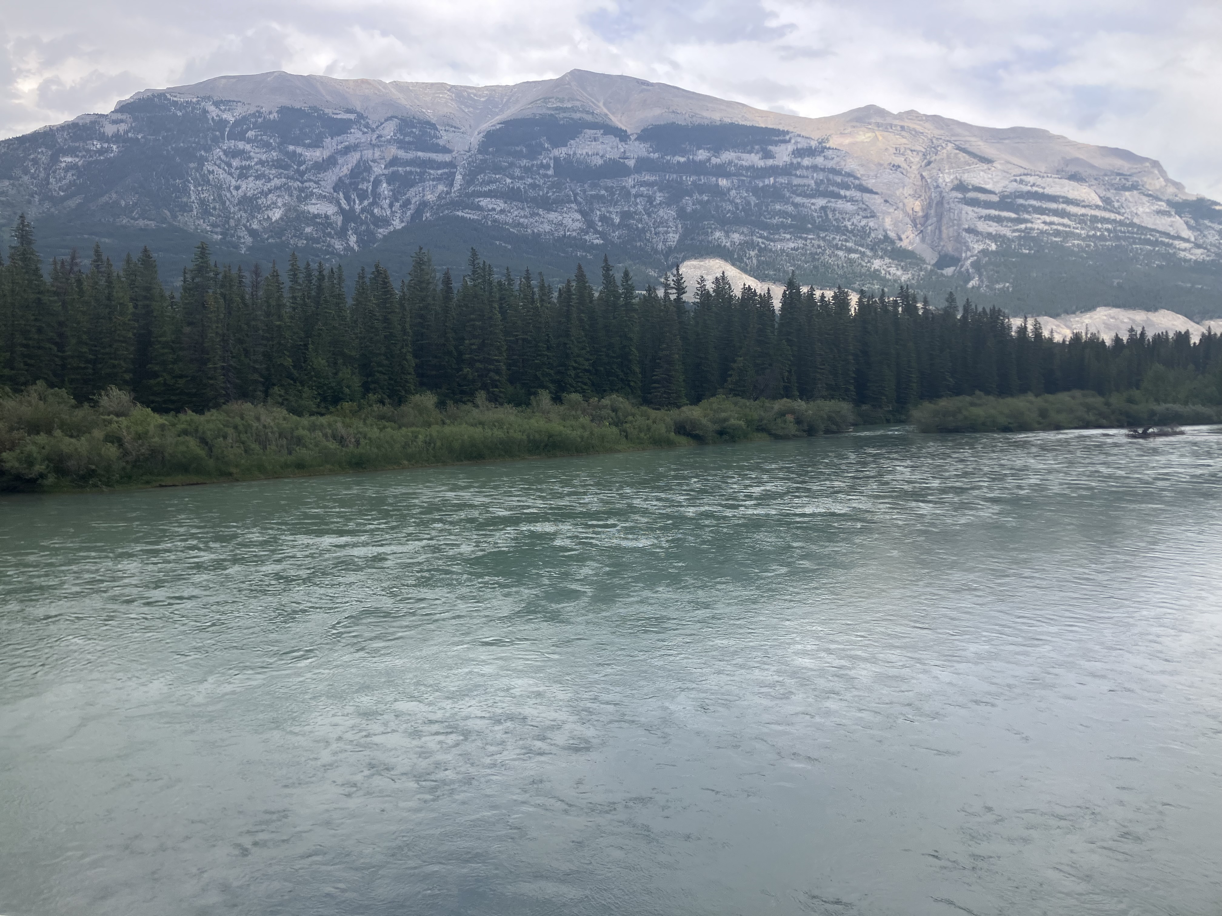
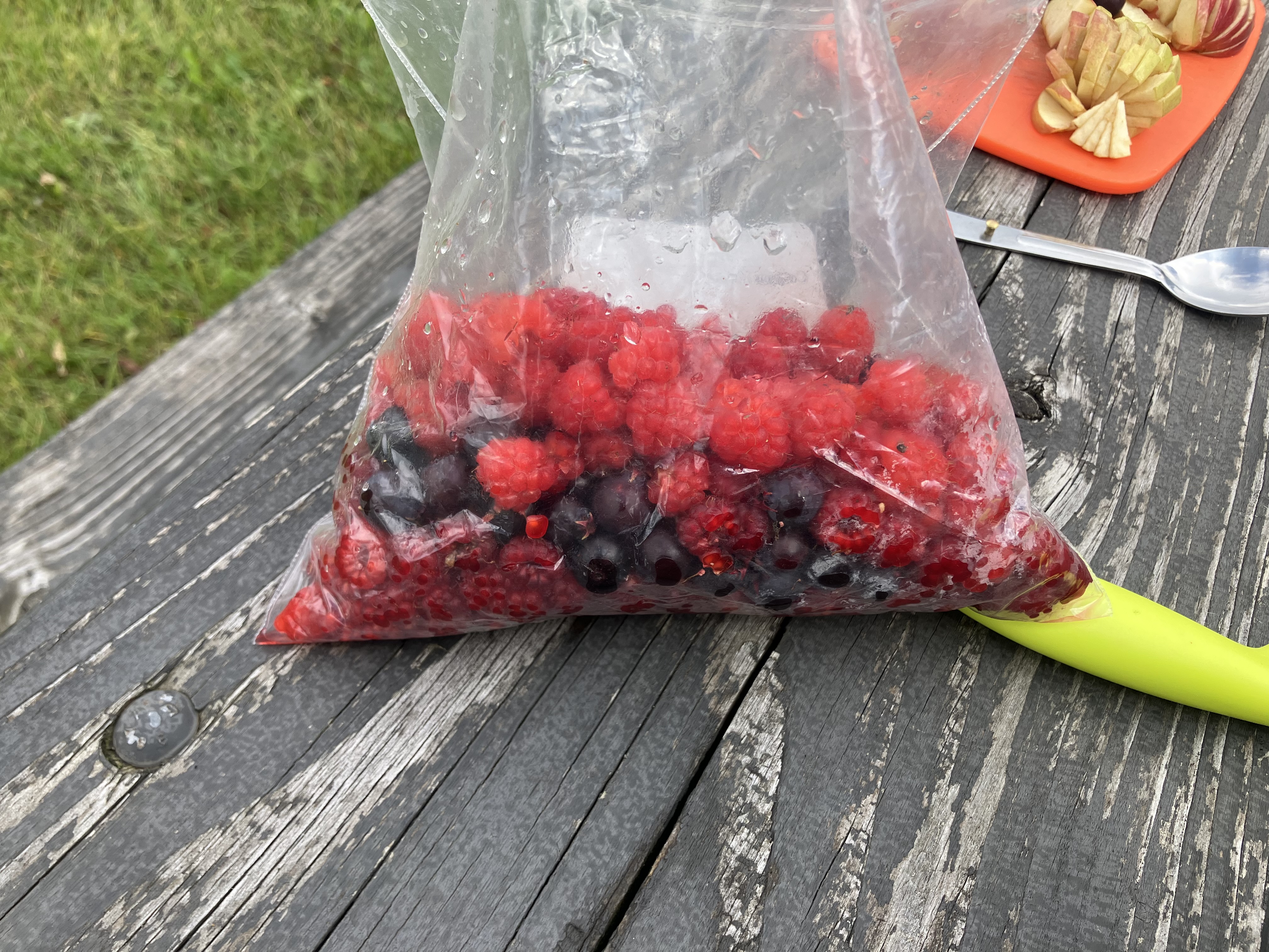
In the morning I noticed there were berry bushes where I camped, so I ended up getting some thimbleberries and saskatoons with my breakfast. It was another quiet ride on the road until I made it to Princeton. This would be as far as I would go along the trail. A few years ago floods had washed out the trail beyond Princeton and the trail bridge leaving the town had half of it missing due to being destroyed from the floods. I would go to that bridge though to camp for the night along the bank of the now very low river. It was another hot BC day but I had the shallow river I could lay down in to cool myself down, making it not so bad.

Camping in Princeton

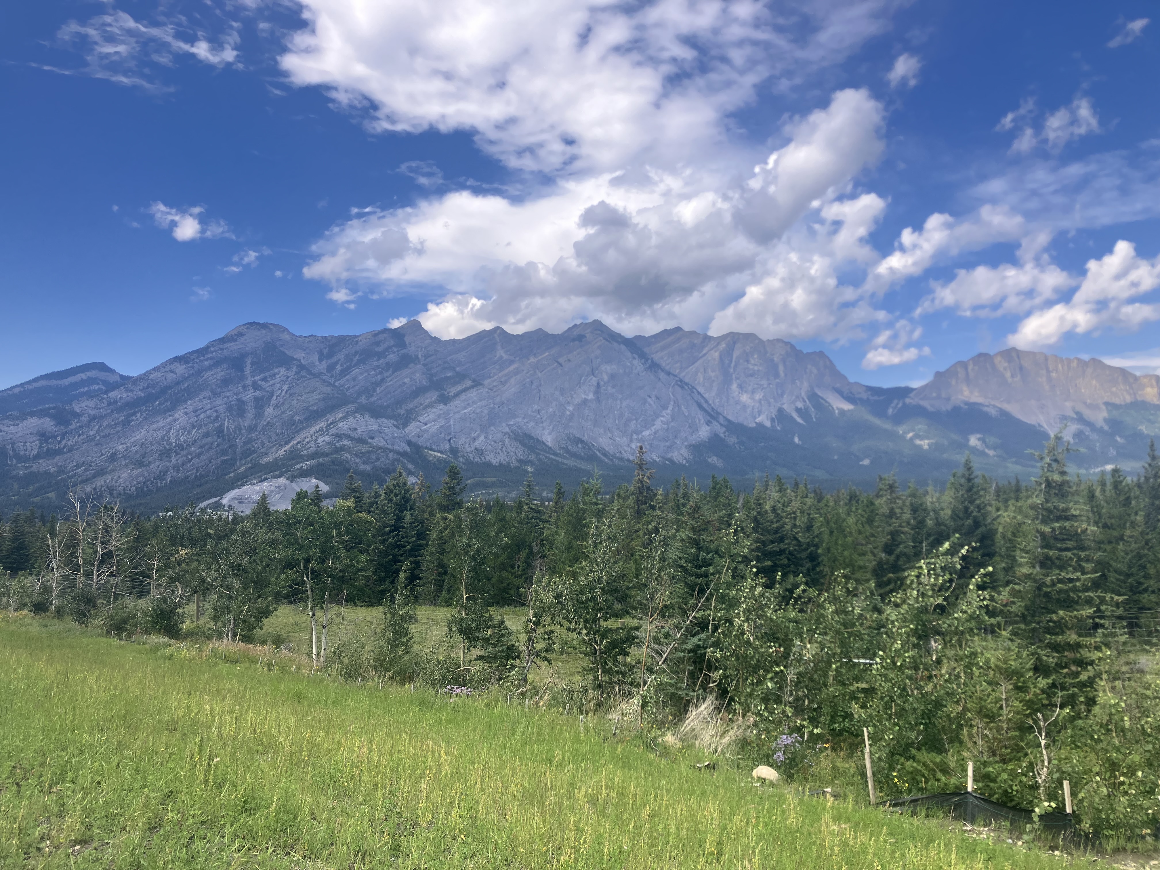
From here on I'd be back on highways all the way to the coast. Being back on the faster highways and with how close I was starting to get to the Pacific, almost all I was starting to think about was how badly I wanted to make it the Pacific and officially finish crossing Canada. It helped that after riding the trails for a while now, I was looking forward to riding paved road again and being able to grind out some longer distance riding. This would sadly be my last day of getting to ride over mountains though, as once I made it to Hope I'd be in the Fraser Valley. The mountains didn't disappoint as I got to ride 2 mountain passes along a long stretch that was almost entirely uninhabited. They provided some more great views that I had gotten accustomed to at this point, being able to see out over long distances and also provide great views of the other surrounding mountains. The best part of all about the passes though, is the downhill after the long climb up and the long descent down to Hope and the Fraser Valley didn't disappoint. In Hope I had a nice chat with a local and his kids before finding a nice camping spot along the river in town.

Hope rockslide

After a couple weeks of avoiding it, I was now back on the Trans-Canada and with me starting to reach the cities that surround Vancouver, it was getting a lot busier. Making it worse was yet another very hot day probably in the mid 30's, plus one of my saddle sores decided it wanted to be very sore this day. On the positive side though, the road was now flat making for easy riding and while I wasn't riding over mountains anymore, they still surrounded in every direction with snowy ones returning as well. I found a couple of nice parks to stop in along the way including the one at Bridal Falls which was sort of like a rainforest. Whenever I wasn't focused on how bad my sore hurt, my time was spent thinking about all that I had done so far and just how far I'd come after the struggle that the beginning of the trip was. I'd make it through Chilliwack and Abbotsford before stopping in Aldergrove where I had a bit of a hard time finding somewhere to setup my tent for the night.

Bridal Falls Park

This was it now. I only had about 60-70km to go yet to reach Iona Beach which is where I picked that I was going to see and touch the Pacific for the first time. I was up early as I wanted to get going and also so I could try to get ahead of the heat too. Being in city now and no longer being on the Trans-Canada meant navigating was much harder now, as I frequently had to stop to figure out where I was going. Figuring out how to get on and across the bridges along the way wasn't super easy either, but Vancouver area had some routes and signage that did help make things a bit easier at times. I stopped for a break about halfway there after crossing one of the bridges. While there, another cyclist saw me and stopped to chat. This was Peter who had done a few shorter trips like going to Portland. He congratulated me on crossing Canada but I still hadn't crossed yet, I still had a bit further to go until I could say I'd officially done it.

The final stretch now would be almost all along the Fraser River. A lot of it was on a nice road with very little traffic. It didn’t even seem like I was in a city but rather could have been riding along a river in a rural area in Quebec. There were lots of nice views too, but no matter how nice it all was, all my mind could think about anymore was just how close I was now to crossing Canada. I’d cross one more bridge and make it onto the island with the airport and the beach that would mark my crossing. The wind had been against me all day, but this final stretch along the airport out in the open had noticeably stronger headwinds that I could see slowing down all the other cyclists going in the same direction as me. I’d hated and been fighting the wind the whole way across Canada, so it was only appropriate it would try to fight one final time. It couldn’t defeat me though, as this time I rejoiced that it blew against me because it felt like I had won the long war that we had been fighting.

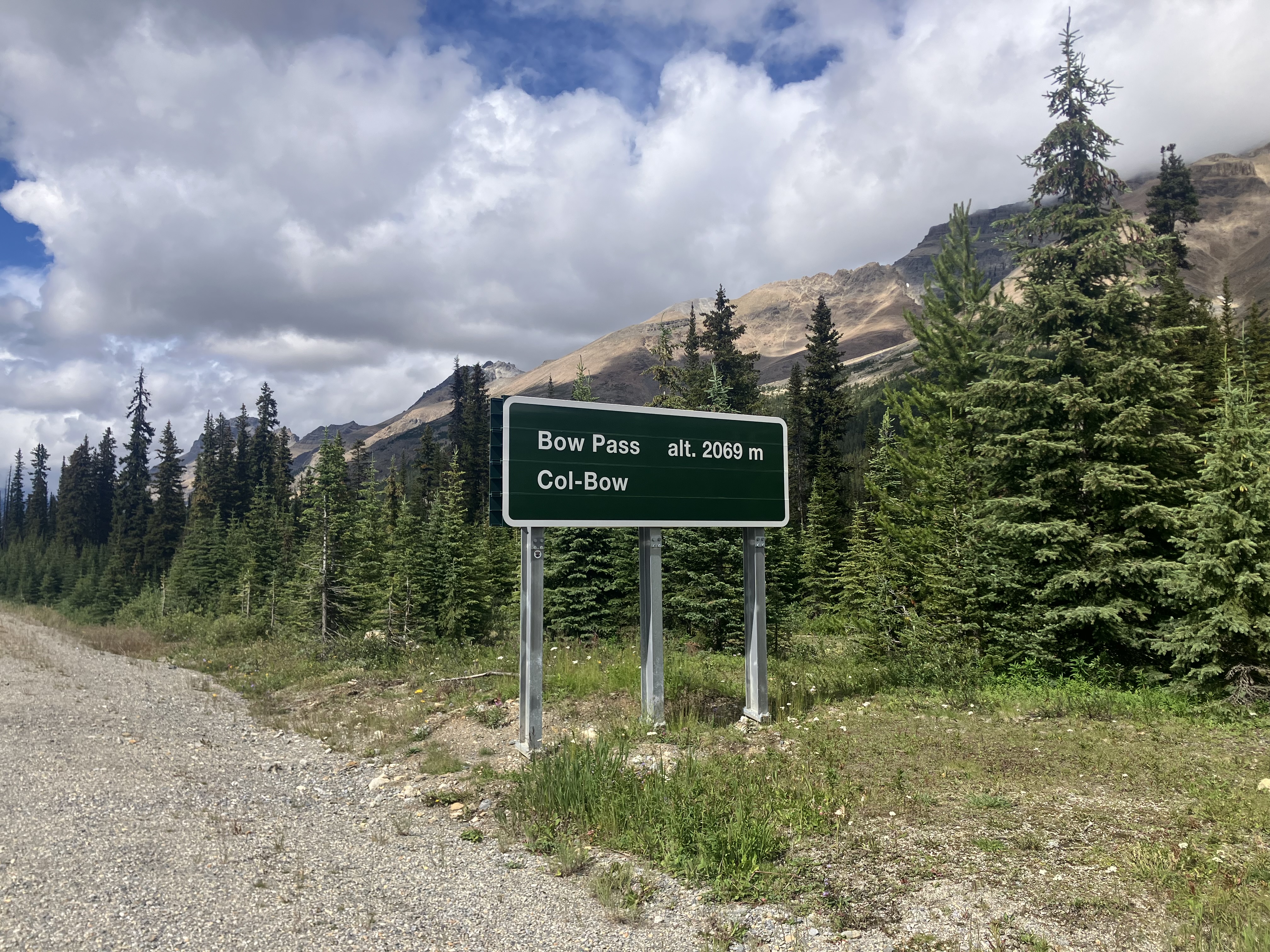
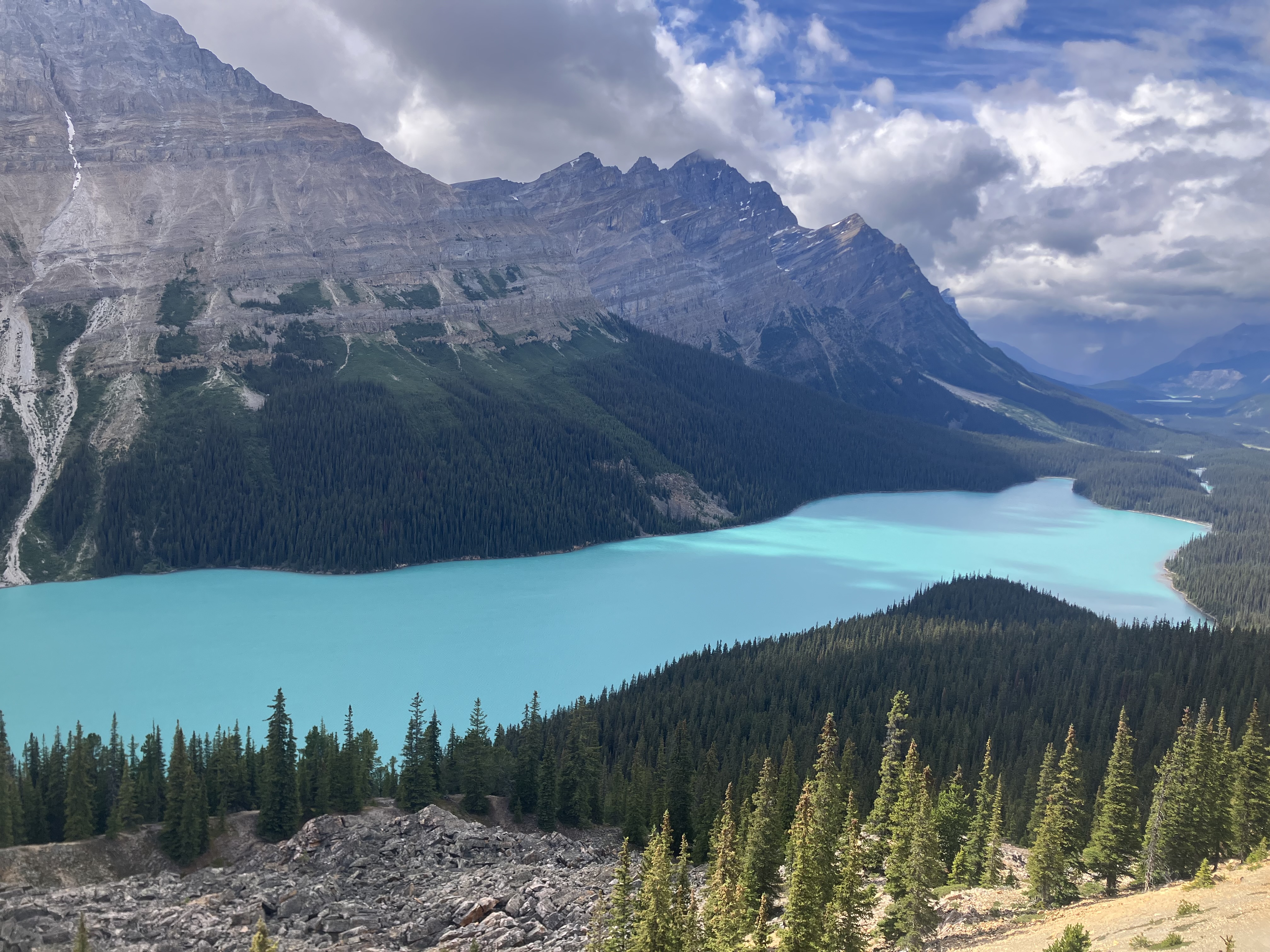
I had overcome the struggles of my inexperience, the weather and conditions of the first week in Nova Scotia. After resting my bad knee, I had restarted and rode along the coast of New Brunswick. In Quebec things started to turn around in the great biking province, as I had started to enjoy the trip. I got to see a lot of friends in Ontario and made a new one that I got to ride with for a little while too. I crossed the Great Lakes in the seemingly never ending wilderness of Northern Ontario. I got to experience the flatness, endless fields and great generosity of the people of the prairies. I saw and rode among the greatest marvel of Canada in the Rocky Mountains, where I met lots of people including a couple I hope will be life long friends. I saw more mountains and had amazing camping along the trails of British Columbia. And now as I made it past the airport, I was seeing the Pacific Ocean for the first time.

Iona Beach

Shortly after passing the airport, I would make it to Iona Beach. The tide was out and it appeared the beach was very shallow as the edge of the water was nowhere nearby. The beach was a long strip that separated the ocean from the Fraser River, so I decided to ride out farther to see if I could reach the water. This would be in vein though, as I soon realized that it appeared that the edge of the water may have been a couple kilometers away. There were still some pools of water that were out a little ways that still count as Pacific Ocean water. This wasn’t quite how I had envisioned reaching the Pacific would go, but it really didn’t matter. I walked out and stood in a pool and started celebrating. I had done it, I had biked across the entire length of Canada!

Reached the Pacific!

Distance Biked: 701.6km

Total Distance Biked: 8751.8km

Dec 16, 2025

Mountains of BC

     Reaching BC felt like a huge accomplishment. In doing so, it now meant that I was on the final stretch of Canada and not that far from Vancouver and the Pacific Ocean. While I was getting closer to finishing Canada, I wasn't in a rush to finish, rather the opposite. Instead of staying along the Trans-Canada through the Rockies, I decided to head south on a longer route that had been suggested to me by a few people. The southern part of BC has a rail trail that runs most of the length of the province and I'd been told that it was both enjoyable to ride and very scenic. Brian, who I met in Assiniboia, had even sent me the whole route from Merritt to Fernie known as the BC Epic 1000 that some people race each year. I wasn't sure just how much of it I'd ride, but decided that I was for sure going to check at least some of it out.

I'd still be riding in the mountains for the rest of BC, but they would be different from what I'd experienced so far. I'd been on roads with huge mountains in every direction, lined up along each other. Some of the mountains were green, but most were bare, gray rock. There also was a decent amount that had glaciers or some form of snow on them too. It'd still be like this my first day in BC, as I rode through Kootenay National Park, but after that it'd change. The mountains now would almost all be green, covered in trees and not quite as tall either. The roads also weren't designed for the picturesque views that you see along the Trans-Canada, but the mountains are still incredible there, just a little different.

Kootenay National Park

Before I left the campground in Marble Canyon, I noticed my back tire was pretty flat. I decided to pump it back up instead of checking to see if something was causing it to lose air, even though every time this happened, it would end up in me having to stop later and properly fix something that was causing it to go flat in the first place. The tire held for a while, but by the afternoon while I was climbing a pass, I noticed the tire was losing air again. I properly patched it this time as I found a wire in the tube. It did give me a break from the climb though, which was nice. While Kootenay National Park was still incredibly beautiful, it wasn't quite as breathtaking as the Banff and Jasper parks were. One thing though that was quite the thing to see, was the scars of previous wildfires that had struck the park in the past. I had asked a woman about them while I was taking a break during the day and she told me that some of the still standing burnt trees were from a fire over 30 years ago. I could tell that those weren't from a recent fire as there were plenty of living green trees growing among them now, but there were still so many standing from a fire that long ago, that it was hard to believe.

Remnants of old wildfires with new growth

The ride down the mountain pass I climbed during the day, down into Radium Hot Springs was probably the funnest downhill I've ever rode. The twisty roads combined with cliff faces right against the side of the roads made for an incredibly unique and fun environment to ride through. There were also a lot of big horn sheep along the way, mostly on the cliffs but some were ground level too. There were even a couple on the edge of the road at one point that I rode right next to and they weren't scared at all. Towards the end of the long downhill, I passed through a tunnel that, as I approached it quite quickly looked really cool as it connected the cliffs on each side. A little after that, the cliff faces seemed like they might have been leaning over the road as it looked like they trying to squeeze the road shut.

Big horn sheep along the road

Getting down the pass took me from the higher elevations with cooler temperatures (maybe mid-teens this day) down into the Columbia Valley where it wouldn't have been far from 30 degrees. It didn't feel too bad though descending into the heat as I had close to a week away from it with much cooler weather. The valley provided its own sights to see too. It was of course surrounded by mountains on each side and when I was higher above its base, I could see the Columbia River weaving its way through the valley and the surrounding farm land.

Columbia Valley

I ended up making it to the town of Invermere for the day. When I made it there, I looked for somewhere to go to celebrate making it to BC and also crossing into the Pacific watershed as well. I ended up finding an asian buffet and decided to take full advantage of it. Well I ended up taking too much advantage of it, as I ate way too much food and could hardly make myself finish what I had gotten for food. I was so full that when I finished. I just laid next to the restaurant for at least a half an hour before I felt like I could possibly make myself bike anywhere else.

While I hadn't minded descending down into the heat, I was back to not caring for it the next day. It was around 30 again and the wind frustrated me all day as it went back and forth on just how much it wanted to fight me. The day did start pretty good though as I found a nice paved bike trail that took me past Windermere Lake before I was back on highway the rest of the day. Shortly after I was back on the highway, I met the biker who was on the longest trip of all the bikers I've met. This was Summit who had been riding since November of the year before. He started from his home in Vermont and basically did a loop around the USA as he went down the east coast, across the south and then up the west. He didn't have an end planned, similar to how I was going at this point, but knew he was going to check out the Canadian Rockies before heading to Vancouver.

Back on the highway, the landscape started to change into something I had never seen before. I think it was called open pine forest. It became very dry grassland with scattered pine trees throughout it. It also had a unique smell as I would describe it as a mix of the pine trees and the dryness of the land combined. If there was ever an area that looked like it was destined to one day be ablaze from a wildfire, I'd say this was probably it. While it provided a unique experience, it wasn't helping protect me from the heat, sun and wind that kept beating me. The final stretch of riding was very tiring but I ended up making it to Wasa, where there was a nice big lake for me to jump in and cool down. I even got some laundry done at the lake, as the weather was perfect for it to dry quickly. Wasa was a nice little spot and some older ladies even ended up pointing out to me where there was some crown land that I could camp on for the night.

I had ridden over 100km the previous 5 days and had gotten myself excited about wanting to do a full week straight of at least 100 km days, but the heat combined with the fatigue of the distance I'd down and fighting the wind, was enough to make me concede. I decided on having a shorter day and letting my body get some rest before starting the route Brian had sent me. I made the ride to the touristic town of Kimberley and spent the afternoon in a library out of the heat.

Waterfall in Kemberley

Leaving Kimberley, I was now on the route that Brian had shown to me and starting to head west again. The start of it was very nice as I was able to get away from constant traffic for the first time in weeks, probably since earlier in the prairies. Not only that but the scenery was amazing again as I was going along a river which opened to a very nice lake at one point, with large green mountains on each side of me too. The enjoyment would soon change though as I turned off of the nice dirt road I had been on, onto a forest service road (FSR). The FSR's are basically the equivalent of logging roads but are maintained well enough that they are traversable, unlike the muddy mess I got myself into early on in the Atlantic provinces. "Maintained" though doesn't mean that they're in good condition, just that they're kept in a state such that you could get through them by vehicle, bike or foot.

Gray Creek Pass (the FSR I was on now) was incredibly rough, primarily due to all the big loose rocks all over the place. I was no longer able to enjoy the scenery around me as I had been earlier, as I found myself having to constantly stare down at the road so I could successfully bike it. There were parts of it too where it would get very steep (this road is a mountain pass) and that's when the loose rocks were at their worst. Gray Creek Pass would end up being easily the hardest place I've ever biked (successfully, I'm not counting the areas that I just ended up walking through mud) and the place I pushed myself the hardest to cycle. During the trip, I would get some comments regularly from people and one them was that I must have strong legs. Well today I was proving that true each time I grinded my way up the steep sections, even though my tires might slip or suddenly change direction due to the rocks.

As tough as I was finding it, there were some parts to it that were nice. After a few vehicles passed me at the very start, I didn't encounter a single one after that. There were also some really nice spots to stop at. Best of all though was in the moments I did stop, was just the feeling of how undisturbed the place was. There were no vehicles nearby to make noises and instead you could only hear the wind and running water. I also enjoyed in those moments, that I was entirely alone in the wilderness and I was able to enjoy it to myself.

Eventually I did reach the top and boy was I ever proud of myself when I summited. It was easily one of the physically hardest things I've done and knowing that most other people probably couldn't complete that ride (at least without walking a lot of it) was something to be proud of. The summit also marked a new highest elevation reached by bike as it was a little higher up than the passes I had done along the Icefield Parkway. I celebrated and then relaxed at the summit before heading down the other side. I considered camping up there as there was a nice camping spot but it was cold up there and I didn't feel like staying in the cold the rest of the day. It was even cold enough that I found myself in my winter jacket again.

Gray Creek summit

The other side of the pass was entirely different from the side that I had climbed. This side was not nearly as rough as the first side with far less big loose rocks. However it presented a different type of challenge. From bottom to top, there was a 1500m elevation difference and this was only over 17km of distance. This lead to the gradient being very steep with it being 9% on average and plenty of times the slope would reach the mid-teens as well. I had to ride my brakes so hard the whole way down that my hands started to hurt quite a bit. On the way down, I met another biker who was slowly working his way up. This was Charlie who was riding part of the same route that Brian had given me. I wished him good luck and continued down. On the way down, I experienced the biggest sudden temperature change I think I ever have. I was cold in my winter jacket with layers on at the top and then at the bottom it was back to near 30 degrees heat again.

When I was making supper in Crawford Bay, I was confused as the time on my phone and bike computer weren't matched up anymore. After asking around, I found out that I had crossed into the Pacific time zone somewhere along the pass. This was yet another big milestone as I had crossed into the last time zone of Canada. It was also quite the thing to put into perspective that I had gone far enough at this point that I had been in 5 different time zones. I ended the day on a beach by a ferry I'd grab in the morning at Kootenay Bay. It was a little wooded area and while there, I met Jules who had been living homeless in that wooded area for the last 10 years. It's a nice spot but I don't know how he manages it there in the winter as I would think it would probably be brutal there then.

I grabbed the early ferry across Kootenay Lake and decided I'd have a shorter day again (Gray Creek really took quite a bit out of me). On the other side I met David who was riding a lot of the BC trails. He seemed unaware of what he'd be getting himself into today, so I warned him about the ride to come, especially since he told me he was nearly out of food. I decided Nelson would be where I'd stop for the day and I made it there by noon. Nelson has a very nice, big park along the Kootenay River that I was told about while on the ferry ride in the morning. It was so nice that I ended up spending a lot of my day there before I left the small city to find a camping spot in the evening.

I decided to skip the part of the trail leaving Nelson and instead hook back onto it at Castlegar, which saved me around 200km I think. The day started with a pretty good climb and descent back down on a road with nearly no traffic. This was what I needed at the moment to help get my mind back in the right state as Gray Creek kind've got me out of my normal rhythm. After briefly stopping in Castlegar, I made it to BC's rail trails for the first time. The trails go up and down mountains the same as all the roads in BC it seems, but since these were designed for trains, the elevation change is far more gradual making them quite a bit easier than the steeper roads at times.

When I got to the trail head, there were some jeeps there trying to get in. The entrance was gated as clearly, it was to keep vehicles out of the trail (which there shouldn't be vehicles on trails). So then to my surprise, after I had stopped to take a break, the same jeeps were now coming up along the trail. They happened to stop at the same place as I did and we ended up talking. I stayed nice (and they were nice people) but I was quite annoyed that they were on the trail now. They found another way onto the trail (I even said to them back at the trail head that it wasn't meant for vehicles) and now were going to drive along it. There wasn't even room for anything besides their vehicles, so when they passed me further along, I had to pull off of the trail to let them go by. Needless to say, I wasn't happy and unfortunately this wouldn't be the end of it.

Columbia River from trail

The trail itself was very nice. It had nice views over the river as I kept slowly getting higher above it as I went. It was also very quiet and peaceful, as the section I was on went in the opposite direction of the roads, leading me out to be completely out on my own (when there weren't vehicles on the trail). Further along, I found out why there were vehicles that wanted to get on the trail. That reason being that this section of the trail had old railway tunnels along it. These were incredibly cool both in how they looked and also being able to travel in the mountains instead of just saying I was on them. I rode through a few short tunnels where you could see the opening of the other side when you entered, but then I reached the big one. This one was 1km long and pitch black inside. I couldn't see a thing and had to get out my headlamp to be able to ride in it. There was no seeing the other side of this tunnel leading to an entirely different experience than the shorter tunnels. It felt almost like I was deep in a cave, at least it did to start out, as part of the way through, a couple vehicles drove through it completely destroying the incredible moment I was experiencing. In total I ended up coming across about 10 cars before I stopped for the day.

Small tunnel
Another small tunnel
The long tunnel

Okay, now I'm gonna go on that rant I promised a couple posts ago. But first I have to tell of the asshole I encountered the next morning. I was waiting out the rain under a shelter when a vehicle pulled up. A guy came out and asked me where the tunnels were. He reeked of weed and his eyes were bloodshot. He was clearly driving under the influence and in no way, shape or form should've been driving. So here he was on the trail, a place for people to go and be safe away from vehicles, a total and complete threat to anyone he may encounter along the way. Unfortunately I didn't think to get his license plate, but I was in the middle of nowhere with no service and no way to prove anything, so not like it would've done any good anyways.

So let me start by reiterating, trails are a place for people, whether you want to hike, bike or even use 4 wheelers (I'm also not a big fan of but they are designed to be used in these places so I can't be too upset), to be able to go enjoy themselves away from the constant threat of vehicles that are present basically everywhere else you go. I don't care that there are cool tunnels on a trail, don't bring your stupid vehicle into a place that is designed to be vehicle free. Find a different way to see them; bike, hike or again, even bring a 4 wheeler in, I don't care, just not your stupid car.

Now, this rant is not just about the trail, far from it, it's just the event that tipped me over the edge. Really this more about my overall dislike for vehicles and the culture that surrounds them. First off, and this isn't even really related to the problems of vehicles, but I hate the fact that America is designed with the expectation that you are supposed buy and own a vehicle. This is especially true if you don't live in a city. Public transportation is lackluster in both Canada and the USA from what I've seen, this includes uninspiring bus networks and a total lack of rail networks that you would see in Europe. Also all infrastructure is designed specifically for vehicles with no thought given to other means. Rarely is there anywhere for a biker or hiker to go other than being forced onto a road with speeding vehicles that can kill you.

Speaking of vehicles killing you, did you know that the leading cause of non-natural death (I'm considering illnesses to be natural as they have always and will always happen plus occur in all other species we see too), are vehicle related incidents, killing over 1million people per year. Just think about that for a second, that's over 1million deaths per year that are almost all entirely avoidable. Canada has one of the lower vehicle causality rates in the world, but still has about 2000 people die each year. Another way to think about that is about 1 in every 20000 people in Canada will be killed each year, or 6-7 people will die every day because of avoidable vehicle accidents.

Deaths aren't the only problem that vehicles create, with greenhouse gasses and noise being other issues. Vehicles are one of the leading emitters of greenhouse gasses. Considering the state of climate change, which soon (in relative terms) may be better classified as a climate crisis, one would think it would be good to try to cut down on emissions. Admittedly there are some changes starting to be made in this regard with electric vehicles, however I would be pleasantly surprised if the visions some people have of them replacing gas burning vehicles actually comes to fruition. This is specifically a me problem, but being on the road on a bike means I am constantly exposed to the fumes coming out of cars as well. The noise of vehicles is another thing I hate about them. Have you ever stopped and noticed just how loud vehicles really are? Cities are very noisy places, but if you were to have no vehicles running in a city, it wouldn't be entirely quiet, but it would be so much quieter. I travelled the whole length of Canada, a country known for it's uncivilized nature, of which I was in plenty, and rarely across the whole length of it was I able to go without hearing vehicles, even more remotely the sound would still carry out into the distance.

Potentially worse than everything I've already complained about is the culture surrounding cars. A little part of this is what I've already mentioned about the expectation that everyone has one, but really this is more about how people drive and tret each other. Considering how much time I've spent on the road with vehicles, I think I have sufficient enough data to speak confidently about this. So many drivers seem to drive with a mentality that they need to get from one place to another as quick as possible . If something happens along the way that would disrupt that, they believe it gives them the right to get angry and begin acting recklessly so that they can continue trying to get to their destination as quick as possible. Something slow on, or by the road like a bike, pedestrian or animal: "Why should me and very fast death machine be slowed down by something like that?! How dare they do this to me! I should never have to leave my straight line so I'll teach them a lesson and drive dangerously close to them to teach them a lesson!". Slow driver on the road ahead of them: "Fuck you for slowing me down! You should drive at my pace so to never slow me down! Now I have to pass you even if it's dangerous and of course I'll flip you off and yell at you as I do, so it's known how wrongly I've been done in this situation!". Am I exaggerating? Yes (although road rage is generally this ridiculous). Is this actually what the common driver mentality is like but to a lesser extent? Yes. There's more to it than this that I just can't remember at the moment too that I strongly dislike about driving culture. This also isn't just a situation of a biker complaining about cars. While yes some people choose to be assholes because I'm on a bike, there are also lots of drivers who treat me well because I'm on a bike. You reading this right now who probably drives a car? Those same drivers are far less likely to be sympathetic to you in any fashion. Also consider that these same drivers I'm talking about could be you. Since I am viewed as an obstacle far more often being on a bike and get passed so much, I do deal with more crap, but this isn't just the complaints of a cyclist. This terrible culture is what I believe is the main culprit in why so many driving incidents occur.

I understand the benefits to vehicles and some vehicles are absolutely necessary, however it seems the negatives never seem to be discussed. I'm not sure whether it's because some people are unaware/have never thought about them before or just that people generally don't care. Personally, I clearly don't like how things are and wish they would change, even just a little bit, but I'm not optimistic enough to believe they ever will. I wanted to keep the blog just about my journey and keep my thoughts and opinions out of it the best I could, but my vehicle problem had become too large a part of my trip to not include this. Okay, back to the story now.

It started to rain after I made it through the long tunnel. Luckily the trail would have a picnic table every once in a while where there used to be train stations and a couple of these were even sheltered. At the summit of the trail was one of these sheltered picnic tables, which was a perfect spot to stop for the night. I had this nice spot in the middle of nature entirely to myself, or so I thought. An hour or 2 after getting there, to my surprise another biker showed up. This was Rochelle who was on the first day of her mini trip cycling part of the BC trails. She also decided to stop at the summit for the night.

Shelter at the summit

I decided to wait out the rain in the morning but Rochelle didn't want to and went on ahead of me. A bit before noon it stopped and I got to coast down the other side of the trail now. When we were on the summit, Rochelle pointed out that she thought we might be in clouds there but I wasn't sure, now after leaving and going down, I could see that we definitely were in clouds. As I had gotten low enough to be below them now, I could see them above me in the trees on the mountains. At one point I encountered a brook that crossed the trail. I had learned during this trip (especially early on, on the mess of a trail I took in NS), that I usually couldn't get across without my bike stopping but I decided I was gonna try to ride across it anyway. Well, my bike hit a bump and stopped and down went my foot into the brook, getting soaked. I could've walked across some rocks but instead got a soaked foot for the day.

Mountain in clouds

Along the way to Grand Forks, I came across a landscape that I found quite strange. On one side of me were green mountains lined in trees and the other side were smaller mountains full of grassland with very few trees. I have no idea what made the two sides so different but found it strange. I'd get to Grand Forks and spend some time there before going back onto the trail later in the day. The trail so far had lots of spots that were perfect for camping. I think it was designed with spots like this to camp on purpose as lots of people travelled them on multi day trips. I planned to stop at the first good spot I saw along the trail for camping that I could find and when I did, there was Rochelle who had already gotten setup for the night. We got caught up on what our days had been like, while looking out over the really nice view we had as we were overlooking a valley with a river weaving it's way through it.

Divided landscape
Lookout over the valley

With that, I was about halfway across BC and on the final stretch of making it across Canada.

Distance Biked: 582.8km

Total Distance Biked: 8050.2km


Oct 15, 2025

Rockies: Traveller Among Tourists

 Of all the places I was expecting to see in Canada, the Rockies were the place I was most looking forward to. I’d never seen anything like them before and anyone who’s ever seen them before has only ever said about how beautiful they are. There would also be the chance to see some new animals that I hadn’t seen before like bears, elk and mountain goats. While I was not only looking forward to seeing the mountains, I also was looking forward to getting the chance to ride through them. The flatness of the prairies had become a little boring by the end and I wanted the challenge of having to climb some proper mountain passes.

Prairies meeting the mountains


When I left Calgary, I saw the Bow River for the first time and got quite excited by it. The reason being that it had that turquoise colour that glacial lakes had and it was quite the thing seeing water that colour for the first time. Leaving Calgary, I had a bit more prairie to do. I knew it wasn’t too much though, as the further I went west, the closer the mountains that were in the distance started to get to me. After about 40km or so, I was entirely done with the prairie land, but not the weather I had been dealing with in them. A little before I reached the mountains, yet another thunderstorm popped up. This one was directly ahead of me as I was riding and dropped a lightning bolt in the exact direction I was going on the road maybe about 10-20km ahead of me. That was enough to spook me and pull off to hide under the nearest gas station until the storm passed by.

Amongst the mountains now


After having to wait to be among the mountains because of the storm, it took almost no time to start being among them after starting back up. I smiled the whole time after reaching them as they were breathtaking. These insanely huge peaks stood so high above me and there were just so many of them as I kept going. They were in every direction too as I became surrounded by them. All the water that I was seeing now was the turquoise blue colour and with mountains sitting right behind the water, it made for stunning views. I’m not one for taking photos much and there are things on the trip I wish I had taken photos of, but right now I couldn’t stop taking photos as everything just looked so stunning.

Bow River
Mountains behind a lake


My day of being amazed by the mountains would end in Canmore, where more thunderstorms greeted me. When there was a break in the storms, I rode up to the Nordic Center taking some mountain bike trails to get there (don’t take mountain bike trails going uphill with a loaded bike, it’s not fun). The Center gave me a view over Canmore and an even better view of the surrounding mountains since I was up higher now. In the evening as it was getting darker, I saw an elk for the first time and even got decently close to it.

Overlooking Canmore


While the prairies had essentially no bikers, the mountains are full of them. Due to this, there’s actually some bike infrastructure, including a path that goes all the way from Canmore to Banff. I rode the path in the morning leaving the rest of the day for something I had wanted to do in the mountains: climbing up a mountain. While I was in town figuring out where to go, I ran into a cyclist who was just about to start his trip. This was Lloyd and this was the starting point for him in his attempt to do the Great Divide (Banff to the Mexico border mostly along the mountains, it’s a very popular route). I figured out where I could hike up a mountain and headed to the base of the trail for Mt. Sulphur.

Along the ride from Canmore to Banff


The trail to get up Mt. Sulphur was in a park on the edge of Banff, so therefore had a lot of tourists in it. Luckily for me, the laziness of most people was to my advantage as the majority of them took a gondola up and down the mountain instead of taking the trail, making it far less busy on the way up and down. The trail up/down was nothing but a lot of switchbacks and the only view being the pine trees around you on the steep slope. The hour it took to go up wasn’t overly exciting but I was happy to have the experience in putting in the effort to climb up. As a side note, there are some comments I get quite often about how I must be in good shape for biking so much and one of them is about how good my cardio level must be. Well today I learned that it is indeed quite good, as I found myself easily overtaking tired hikers all the way up, while I kept my good pace the whole way up. Once I reached the end of the switchbacks, I was up with the tourists who had taken the gondola, but this wasn’t the end point.

The peak I stopped at


I guess everyone thought that where the gondola went was the summit, but it wasn’t. The real summit was another few kilometres hike and I wanted to go there. With everyone being oblivious, the way to the real summit was entirely empty to myself. This part was entirely different than the switchbacks and featured some up and downs that required more careful navigating. I did end up coming across one older couple though (Eric and Joanna) who were into doing more difficult hikes. Shortly after encountering Eric and Joanna, we reached a peak with an incredibly stunning view. I’m unable to post videos here but wish I could as it really was incredible. You could see about a kilometre down over the Bow River, the Trans Canada, Banff and the valley between the mountain I was on and its neighbour. This was the highest I’ve ever been as I was over 2300m in elevation. I ended up deciding to stop here, as the rest of the trail looked too sketchy for me and my inexperience in hiking mountains. I didn’t reach the highest summit of Mt. Sulphur, but I still did better than nearly everyone else and was well rewarded too. I watched Eric and Joanna as they kept going and thought about I was happy where I stopped when they very slowly and carefully were going across a ledge at one point. The hour back down wasn’t as fun but it was better than the gondola and I got to talk with some of the hikers who were going up.

View from the peak overlooking highway and river


Banff and the surrounding national parks in the mountains are quite strict about enforcing their rules, including on no wild camping. I considered the potential big fine I may face if caught wild camping not worth it and decided on using campgrounds for the rest of my time in the national parks. This decision would end up paying off right away. I found a campground with an open spot and went about my usual evening stuff. While I was there, a herd of elk came right through the section I was in and peacefully grazed, unafraid of all the campers who watched them. Also not long after I had gotten there, I saw a couple of cyclists going up the hill towards where you would enter the campground. I ran over to the ledge over the road and yelled over to them, inviting them to my spot if they didn’t have one yet. They did not and a couple minutes later found my spot. This was Carsten and Isabell from Germany, who had just finished cycling the Great Divide going from Mexico to Banff. They’re on a year long sabbatical and have been travelling all over before starting the biking portion (they have their own blog about all of their journeys if you’re interested: https://findpenguins.com/6p4ifepvipw1o) We got talking before dark while I made my supper and figured out that we were heading in the same direction, so decided we’d cycle together when we left in the morning.

We rode out of Banff towards Lake Louise on an alternate to the main highway, which was much nicer as there were far less vehicles, letting us talk as we rode. The other nice thing was that we rode at about the same pace (although Isabell was a bit slower on uphills), which made it even better to ride with them. We just rode to Lake Louise for a shorter day as we planned to get very early the next morning to ride into see the lakes before they were stuffed full of tourists. The day overall hadn’t had much happen other than the campground fiasco.

When we arrived in Lake Louise, Carsten asked at the visitor centre about camping. They told him that the main campground would be full and not even to bother trying to get a spot. So we went to the campground with the plan to ask if we could share a spot with someone who was already there. After a little while of asking, a Turkish woman and her mother said yes and we sent up our tents there. A little while later, a ranger or staff member who was inspecting the campground, said we couldn’t camp where we were, as we weren’t on the main camp spot. He was nice and told us that there may be an open spot and to go ask at the entrance (we didn’t enter the main way). So I went and found out there was an open spot and got it for us. By the time I got back though, the situation had changed. Another person of power, like the guy I had talked with, who was not so nice, told Carsten and Isabell that we had to move/pack up immediately (the nice guy was fine with letting me go and come back and then doing something). She forced them to move and during this, a camp spot right next to where we were, saw and invited us to move our tents there. So they did and when I got back, I found out I no longer needed the spot I got as we had a new one. So I went and got a refund for the spot. However, a while later while I was showering, the cranky woman came back around and now was telling everyone that the situation was no good and needed something to be done with right away. This time because there were too many tents (3, apparently max 2) and that the people who had the spot for the night couldn’t have their tent where they did because it wasn’t in the right spot. So then Isabell had to go get the spot again that I had gotten earlier. While she did that, the people who let us camp with them helped us move. Our new spot was on the other side of the campground and we already had our tents up and everything we’d want in them for the night, so packing would be a pain. The people in the spot though had a truck and offered to put our tents on the back of the truck and move them to the new spot. We accepted the offered and got all of us stuff moved to the new spot. Finally, everyone was satisfied now and we could just relax for the rest of the day.

Fog in the mountains in early morning to Lake Moraine


We were up very early, around 5 in the morning and left the campsite before 6. We headed towards Lake Louise and Lake Moraine with the goal to try to get into the lakes before they were full of tourists. We decided to head to Lake Moraine first, since people aren’t allowed to drive their vehicles in and instead have to take shuttles, there would likely be less people there than Louise. While it was only an 11km ride into the lake from where cars were denied access, it still took us a while as the ride was mostly a climb. It was absolutely worth it though, both putting in the effort and leaving as early as we did. The lake was beautiful and the earliest shuttles had only just beaten us there, leading to not many others being there and us being able to enjoy it more peacefully than we otherwise would’ve. A little after we got there, someone had already gotten a kayak in the water. I don’t know, maybe it’s just me but it just seems a bit sad that you can’t enjoy something beautiful like that without people having go in it and disturb it like that, especially since it’s such a well known spot that so many people want to see in its full beauty. The lake was beautiful with its turquoise colour and we spent a bit of time there appreciating it before heading back to see Lake Louise. I think Lake Louise actually looked slightly nicer than Moraine, however it was packed full of tourists and people out in kayaks by the time we made it there. It almost felt hard to even be able to enjoy it at all like that.

Lake Moraine
Me, Isabell and Carsten at Lake Moraine


Back in the town, Carsten and Isabell met up with Jack and his wife Maureen. They met Jack earlier in their trip and had helped him out after he had accident. Jack and Maureen planned on joining us for the day, as we started riding the Icefields Parkway. They brought lots of food for Carsten and Isabell and even let me have some of it too. Jack and Maureen had something I’d never seen in person before, that being a bike for two and that’s what they’d be riding for the day.

Isabell, Carsten, Maureen and Jack

Icefields Parkway was definitely a suitable for the route. Basically as soon as we turned onto the route, we started seeing the mountains had plenty of glaciers. They were stunning and had us all stopping regularly to take photos and just marvel at them. Jack and Maureen had ridden this stretch multiple times before and knew of everything there was to see, making sure we didn’t miss anything. The colours of all the water we saw was the pristine turquoise we had seen but even better here. As the water here was mostly all melted from the glaciers we were staring at, I think it helped make the colour sharper than what I had seen the past few days. I think the best of them all was at Peyto Lake, where we would split up from Jack and Maureen and where I had finished climbing my first ever mountain pass. After seeing Lake Peyto, Jack and Maureen turned back, while the 3 of us got to coast down the other side of the pass to a campground where we would stop.

Isabell, Carsten and me
Me, Isabell and Carsten at Bow Glacier
My first mountain pass complete
Peyto Lake

The morning felt very cold when we all got up. The higher elevations of the Rockies result in the temperatures being quite a bit cooler than whatever it is like in surrounding areas. I had gone from regular days in the prairies being 30 or more degrees, to now having temperatures drop as low as 5 degrees in a matter of a few days. For the first time in my life, in the middle of summer with it being August, I was actively using my winter jacket. Even though it was a sharp change and I definitely felt cold at times, I was enjoying having the change temperature from the heat I was used to.

Mountain

We had wanted to see the Columbia Icefields in the day (and that was as far north as any of us intended to go) and there were no campgrounds up that way it looked like we could depend on, so we dropped off a lot of our stuff at a different campground earlier in the day with the hopes of finding a spot when we made it back later. It was yet another day of stunning mountains, glaciers, lakes and rivers. We had another mountain pass to do and this one was much tougher. The pass we had gone over the day before left me a bit disappointed, as I had an expectation of how tough it would be to do a pass and it wasn’t near as difficult as I imagined. The one today though matched my expectations as it was a continuously long and at times steep route that would take a few hours to climb up. By the time I reached the top, I felt good and tired but able to be proud of what I had just climbed. The other cool thing about the pass we climbed today, was the change in watersheds that came with it. I had been cycling in watersheds that went to the Arctic Ocean via Hudson Bay since a little after Thunder Bay, but now the water would flow all the way north to the Arctic Ocean by the McKenzie River.

Overlooking highway and mountains in clouds

After a bit of a break at the top of the pass, Carsten and Isabell caught up with me and we rode down to the Columbia Icefields. All the glaciers we had seen up to now were up near the peaks of the mountains, but now we were looking at a glacier that was down at ground level with us. Not only that, but there were 2 more glaciers on each side of the low glacier. Being able to see the 3 glaciers at once was incredible. Carsten and Isabell had hiked on a glacier before, so they decided to head back while I went out to hike on the glacier. It was impressive how large it was when I had made it up to it. I got to walk on it for a little but didn’t get to explore as much as I wanted since it was getting later and I decided to head back. 

Athabasca Glacier at Columbia Icefield
Me on the glacier

The reward for climbing the pass early in the day was being able to coast back down for a good chunk of the way back. There was even a stretch on steeper, twistier parts of the road where I was able to overtake some vehicles which felt pretty cool to do. I fully expected to find Carsten and Isabell would be back at camp well over an hour before I would make it back, so I was quite surprised to see Carsten on the side of the road as I was whipping down a hill. He was on the side of a very steep hill and as I stopped to turn around to go back to him, my mind started thinking something very bad must have happened and one of them must have fallen over the hill. When I got back to Carsten, luckily everything was alright. Turns out, they had decided to take a side trail that wasn’t so fun to ride and it had lead them to a dead end. They didn’t want to go back and to get back on the road, they would have to try to get their bikes all the way back up the steep embankment of the side of the road. I helped them get the bikes back up but Carsten’s chain had somehow gotten very badly jammed in the ordeal. It took a good amount of finagling and yanking, but we got it back in place and then we were able to ride back to camp together.

While our stuff was back at camp, we still didn’t have a spot to camp for the night when we got there. It was another camp that required reservations (which is essentially impossible to plan when travelling by bike), so we had to ask around to see if anyone would share their spot. Right away when we started asking, we met with a yes. Francois and Marianne, a couple from France, were happy to let us  camp next to them and share our travel experiences.

We chatted with Francois and Marianne more in the morning before saying goodbye, as they left before us. It wouldn’t be the final goodbye though. Unfortunately, my time with Carsten and Isabell had come to an end as well. We hadn’t known how long we’d be together as none of us had known the route we planned on taking after seeing Columbia Icefields. The day before though we figured them out though and this would be our splitting point, as I would head south off of some recommendations I had gotten, while they would head east before going to Calgary. I had really enjoyed my time with them over the 3+ days we spent together. I also knew I had made new friends that I expect will be a part of my future. We also all planned on being in Vancouver in the near future and had the hope that our paths may cross again while there. We said a sad goodbye but I was confident we’d be reunited soon, which made it a bit easier to split up.

Now that I was back on my own again, I planned on backtracking the past few days of riding so I could start going further south. I got to do the other side of my first mountain pass and this side was definitely more difficult than the side I had first ridden. I got all the backtracking I would need to do in just the day and I even got to see a little bit of new towards the end of the day. I made it back south of the Icefields Parkway and then also halfway back between Lake Louise and Banff before starting back on seeing new stuff. I didn’t get much further south in the day, but did have to climb another mountain pass to make it to camp. This one wasn’t as long but made up for it by being steeper than the previous ones I had climbed. Climbing a second pass in a day was definitely tiring but provided me with a couple of significant surprises I wasn’t expecting. The first of those being that this pass marked the continental divide, meaning that all water I encountered now would flow to the Pacific Ocean. The other being that I had now finished my time in Alberta as this was the border with BC, my final province of Canada. I had no idea I was about to cross into my final province but when I realized I had made it here, I started celebrating and even ended up shedding a couple tears of happiness as I was incredibly proud of myself for how far I had come. I got to coast down to my campground for the night and eagerly started to think about crossing the final province of my cross Canada trip.

BC border
Continental divide

Distance Biked: 588.3km

Total Distance Biked: 7467.4km

Sep 30, 2025

The Generous Praries

 While everywhere I’ve been on the trip, people have been very nice to me, I think the people from the prairies are probably the most generous and friendly of them all. Anytime I interact with anyone, they’re always super friendly and some have even given me money already in my short time in the prairies. The drivers are by far the most generous of any I’ve come across. While earlier in the trip, I would get the occasional honk of support, prairie drivers don’t honk and instead wave to me and a lot of them too. I was probably getting about a hundred or so waves a day which is a lot. Even better than that was how they drove around me. Most drivers going past me would entirely drive on the other side of the road when passing and sometimes drivers going the other way would drive on the shoulder when going by, as if to make sure they’re giving me as much space as possible to be safe. This is a stark contrast to everywhere before, where I’d say about 50% of the drivers passing me drive as if I wasn’t there and the other half would cross the median to give me more space, but nothing near like the space prairie drivers were giving me. As fantastic and kind that the people from the prairies had been to me, they’d keep it up and maybe even surpass this as I continued passing through.

View over Horizon (ghost town)

The generosity would continue after my night at Rod and Sharon’s in Weyburn. In the morning, Sharon made breakfast for me and then I talked with both Rod and Sharon some more as well. I got to try saskatoon berries for the first time the prior evening, but they were frozen and I was hoping to get to try some fresh ones at some point. So Sharon recommended me to stop at a saskatoon berry farm in Trossachs, that I’d pass later in the day. Before leaving, Rod and Sharon even gave me $50, just like the other very kind people from the prairies had been doing as well.

View over the prairies


Around noon time I made it to the saskatoon berry farm in Trossachs that Sharon had recommended me. One of the owners of the place (Larissa), greeted me as I pulled up. She was quite surprised and curious why I was there as she told me that no one had ever come to their place before on a bike. When I told her I had been recommended her place for saskatoon berries, she lead me back to the saskatoon bushes and let me start picking, even encouraging me to snack on some as I picked. When I got done picking what I wanted and could carry with me (it was probably about 2lbs worth), I went back out front to find Larissa so I could pay for them. When I did though, Larissa told me I could keep what I picked for free. Not only that, but she even gave me a cold bottle of water (it was a very hot day) and a pack of freeze dried skittles to take too. We got talking and it turns out we both had mental health problems before and both gone through quite a bit to overcome them. She had found religion in doing so and believed that we were supposed to meet, that being part of the reason she let me have the berries (and she was also just incredibly nice).

My saskatoon berries

After the stop at Larissa’s saskatoon berry farm, I continued back to fighting the wind on the hot day. I’d make it to Ogema for the day, passing more ghost towns along the way. I didn’t know it at first, but turns out the route I was on (The Red Coat Trail), is also known as the ghost town highway. This being because there used to be a railway that ran roughly along the highway, that was largely used for transporting grain. Every town/village had large grain elevators along the still remaining tracks. Sometimes you would see the grain elevators in what seemed like the middle of nowhere as there used to be a village there. Some of the ghost towns are completely gone, with only a monument left behind as the buildings either burnt in a fire, got moved away or both. Others would still have some buildings, but not near as many as there would’ve been at the villages’ peaks. Usually a couple of them would still be lived in but the rest looked abandoned or fallen apart.

Leaving Ogema, there was nothing in between until Assiniboia, which would take me the day to get there. The land was starting to change now as it was no longer purely flat and instead I was now riding through rolling hills of fields. This meant that I started seeing some fields with cattle in them instead of just purely crop fields. It was yet another very hot day of fighting headwinds. To make it worse though (and maybe I just hadn’t been noticing it until now), was the added wind that the oncoming traffic was causing. Nearly every vehicle in the prairies is some form of truck. Could be an 18 wheeler, dump truck, oil truck or pickup truck, but almost always some form of truck. The thing about trucks with their bigger frames, is that they move a lot more air than a car. So every time I encountered a truck going opposite of me, it would hit me with a big gust of wind that would nearly kill my momentum and have to work back up to speed. Dealing with this was actually worse than the constant wind that I would otherwise have been dealing with as at least I’m not constantly having to basically start back up from not moving. From this day on, this was something that was constantly happening while I was still in the prairies, I just must have been ignorant of it earlier on. It wasn’t just me either, later on when Abraham (guy I rode with for a couple days in Ontario), made it to the prairies, he told me that he also had the same problem with the trucks making gusts of wind.

Rolling hills


After a hot day that felt like it took quite a bit out of me, I made it to Assiniboia and got a slushy to help cool down. I then found a park where I was going to stop and cook supper, when to my surprise, there was already another biker there. This was Brian who was riding from Vancouver to his hometown of Niagara. Brian had been living in Vancouver but was soon moving to New Zealand, so was now riding to Niagara before flying to New Zealand. Both of us were done riding for the day, so we ended up chatting for the rest of the day before we found a camp spot to setup our tents together. Unfortunately for Brian, his stomach wasn’t feeling well when I met him and it hadn’t improved over night. So when I ended up leaving him in the morning, he’d be staying in town and grabbed a motel for the day.

While Brian was left behind not having such a good day, I continued on having a pretty good day. The wind was with me and there wasn’t too much traffic this day, making the riding quite enjoyable. I even saw a couple of new animals along the way. I saw what I assume was a burrowing owl on the side of the road, with its wings fully extended out sunbathing them. As I went by it, it stayed there but rotated its head fully around to watch me go by. Later on when I stopped at an abandoned baseball field in a ghost town, I saw a jackrabbit hopping away. I made it to Cadillac to end the day where my timing was a little poor. The local fair was going on right when I arrived, making the village loud and full of people when I’m sure it otherwise would’ve been mostly empty and quiet with a free campground to use. Instead I found an abandoned school on the other side (which was like 3 streets) of the village to camp next to for a little shelter for the thunderstorms that rolled through in the night again. There were coyotes howling too and while I’ve heard them plenty of times, when combined with the thunderstorms, doesn’t lead to the best of easy sleeping.

Never ending road


Leaving Cadillac, the land went from rolling hills to proper hills and I had to give actual effort again to ride up them. Early in the day I met Scott from Saskatchewan who’s riding across his home province and had just started the day before. I also came across the most weird and probably most famous ghost town during my time in Saskatchewan in Scotsguard. The buildings there had been restored and look like new except they’re not used or lived in except for one household. I had another new animal sighting too, in getting to see my first pronghorn a little off the road in a field eating. I would end the day in Shaunovan, finding cover from more thunderstorms and also prepared to start seeing some new landscapes tomorrow.

Scotsguard monument


Earlier during my time in Saskatchewan, I had heard of Cypress Hills and decided I wanted to check them out. They’re the highest point between the Rockie Mountains and Labrador and also supposed to have excellent nighttime viewing of the stars. As I had been starting to near them, it probably makes sense that it was hilly now.

A while before I had made it to Shaunovan the previous day, I had started to see large hills out in the distance. While I’m not sure that they’re technically part of Cypress Hills or whatever that whole formation would be, I do know that they were definitely the hills that formed the Frenchman Valley. Before I started to enter the valley in Eastend, I started coming across these steep hills that were scattered about in every direction. They almost seemed like they wanted to be mountains towering over the area but just didn’t have the size. 

Hills entering Eastend


Before I could started exploring the valley, Eastend had its own attraction worth visiting, that being a fossil museum. The museum is technically free but they do ask for a donation. While Alberta is known as the main part of Canada for fossils, this part of Saskatchewan in the Frenchman Valley basically matches it. The main reason there’s a fossil museum in Eastend, which isn’t very large or near anything of size, is due to the fact that the largest T. rex ever found was found around here and now houses it too. While Scotty the T. rex was the main attraction, the museum did have other cool fossils too like a triceratops skull and a type of ancient North American rhino too.

Scotty the T. rex
Triceratops
Rhino


Leaving Eastend and its museum, I got to start exploring the valley. I’d been on the Redcoat Trail the whole time in Saskatchewan but now was leaving it for the gravel roads towards Cypress Hills that rarely had any traffic on them. I really didn’t know anything about the area I was about to ride into (or even that there was valley here, it’s purely coincidence I ended up here), but it ended up being one of the most stunning areas I’ll probably pass through on the whole trip. All of the land was still pasture land with some cows spread about here and there. While there was the occasional farm or similar buildings, I’m not sure anyone actually lived here and instead travel to their land when they need to. The fields extended up the hills that made up the valley, at least where vegetation could grow on the hills. The hills looked more like mountains and were striped with different colours fron the different periods of which the hills must have been formed. I’d watched a video of someone riding through pastureland in the Andes before and this truly reminded me of that.

Frenchman Valley

The climb near Ravenscrag (another ghost town) to get up the hills and out of the valley was a very steep and hard one but presented its own new landscape. I was now over 1000m elevation for the first time ever (not counting planes) and it seemed like it too. The air while not too different, could be noticed that it was slightly thinner. Again everything around me now was pastureland for cows to roam but it looked so different now. I’m not sure how entirely to describe them, but they also just had a look to them that they were at a higher elevation. The land here also gave a bit of an illusion that it was flat when it was not and rather was more like the rolling hills I encountered earlier in the province. Getting to ride the valley and now the hilly pastures with essentially no one around was incredibly fun for the day.

I would end up reaching the end of the wonderful area where it was just me and got back to a main road that was lived on again before reaching Cypress Hills. One final climb did get me up to Cypress Hills park soon after. Luckily I got my tent up shortly after getting there, as unsurprisingly at this point, thunderstorms started rolling in. After it got dark and there was a break in the thunderstorms, I went for a little walk. While there was no thunderstorm overhead at the moment, there were thunderstorms in every direction and it was quite the sight as I watched the clouds constantly light up. 

Foraging rewards

The storms would come back during the night but were done by the morning, which was good for my plans. I planned on spending another night here and exploring the park during the day and then getting a view of the stars at night. When making breakfast, I noticed a bird eating a berry off a nearby bush and decided to check it out. I ended finding quite a few wild raspberry bushes and some saskatoon ones too. I spent about an hour picking what I could find and had enough for my breakfast oatmeal both today and tomorrow. During the day I went for a hike to the high point in the park, where there and along the way, were some really nice look off spots. I was able to see the next town I’d cycle through (Maple Creek) about 30km away and in general could see very far (likely over 50km) from my view point. Apparently on clear days (it was a little smoky) you can see about 100km in the distance I think. I also had the high point to myself as you had hike out to it and no one seemed willing to put in effort to do anything. I was in a nature park where I would think people would want to go hike and explore and not one person hiked to see the views. A couple used e-bikes but everyone else drove their cars there which I think is just pathetic in all honestly. 

View from Cypress Hills

I try not to rant on the blog here much (there will be a very large one in the future when I get to BC) and keep it just to my experiences, but I have to say, the pure laziness of people that I’ve witnessed on this trip is truly astounding. The total lack of effort and pure want of ease that so many people seem to want in all aspects of their lives, truly is sad from my perspective.

Later in the day, after the hike when I was back at my tent, another camper (Rod) came by and invited me over to his spot later in the evening when he was making lamb burgers. I spent the evening over with Rod and had the burger plus he gave me a bubly and let me have some chips too. Rod was quite interesting. He was from Saskatchewan but has lived in Thailand for 35 years and done lots of travelling over the years. I got up around midnight to see the night sky but was left a little disappointed. The view was good but not really any better than what I’d see back home on the hill on our farm. What I really wanted to see was a more well defined Milky Way belt, which I didn’t get, but the view was still nice nonetheless.

My time passing through the Frenchman Valley and being in Cypress Hills had gotten me really excited to make it to the Rockies and start exploring the mountains.  With the wind supposed to be with me the next few days, I planned on fully taking advantage of it. I had enjoyed the prairies until now, but I was ready for a change of scenery and the flat prairie lands were starting to grow a little boring.

Since I had to do a bunch of climbing to make it to Cypress Hills, I was rewarded with a big descent when I left them. I got to drop over 500m of elevation down to Maple Creek on a road that was a steady descent down the whole way. Getting to fly down to Maple Creek was incredibly fun as I averaged over 31km/h for the near hour of descending. Not long after I passed Maple Creek, I reached the Alberta  border and entered another new province. Stopped at the rest area at the border, was another cyclist who I stopped to talk with. This was Nico from Germany, who had started in San Diego, rode up the Pacific coast and now was riding east to Toronto. A bit later on I came across my first long distance hiker. This was Rakesh who was walking from Vancouver to Toronto for mental health awareness. I made a lot of progress during the day like I hoped and would end the day in Medicine Hat.

Alberta border
Me and Rakesh

Leaving Medicine Hat, I was welcomed with more stinky oil fields and a hot 30+ degree day (at least I still had tailwind). I had done over 100km by the early afternoon. Since there was still plenty of day left, I kept pushing on but the longer distance from the previous day and what I had already done today made the rest of the day feel much more difficult. I would end the day in Bassano. 

While I was looking around for a place to eat and camp for the night, a car stopped and asked if I was looking for a camping spot (people from the prairies seemed to always know I was on a long distance bike trip). When I said yes, she (Connie) offered to let me stay at her place for the night. She was currently on her way to her friends place and invited me to come along, saying she’s invited people over to her friends before like this. I followed along and was welcomed by all of her fellow teacher friends. Not only did they all not mind me there, they also even invited me to join in the cooked supper they were all going to have (and encouraged me to have extras which I happily did). Before leaving to go to Connie’s place for the night, Les, the husband of the friends house, gave me some money to take with. I didn’t really look at what he gave me right away but it looked like a couple 20’s. Well, turns out when I pulled the bills out of my pocket later, he had actually given me more than I thought, as it was $100 worth of 20’s,which was insanely generous of him. When I got to Connie’s, I got to shower before getting to sleep on my first proper mattress since I last got a hotel room in Bathurst, New Brunswick.

Connie took me out to a diner for breakfast in the morning. I hadn’t really gotten the chance to properly talk one on one with her yet since it was late when we got to her place and we both went to bed almost immediately. Turns out Connie is actually taking a break from work and planning to travel for the next year. She’s actually moving out of her place and leaving to start travelling up to Yukon only a couple days after I met her, so I timing truly was amazing. She had most of the next year planned out already with plans to see South America, Central America, India and maybe even more.

I left Connie and Bassano to another really hot day with Calgary in sight now, which is where the transition from prairies to mountains starts to get closer. I was back on the highway the past couple days and while it had busy, as I grew closer to Calgary it kept getting even busier. After listening to the roar of cars all day and staring at the same fields I had been for the past couple weeks, I made it to Chestermere, which is basically on the edge of Calgary. In Chestermere, I got to cool down in a lake for the first time since I left Ontario which felt so good after another long hot day of sweating. 

Approaching Calgary

I ended up spending the weekend in Calgary, seeing the city some. I saw downtown including the island park and its walking streets. It also came another thunderstorm while I was there (it felt like my whole time in the prairies was full of nothing but thunderstorms). I got my chain swapped out and got new brake pads in anticipation I’d be wearing through my current ones much faster once I reached the mountains. When I made it to the western part of the city, I could see the peaks of the Rockie Mountains for the first time, which got me very excited. On my final evening there, I got to see my cousin Matt who had been out of the city until then. We went out to a restaurant together  and got to talk about our travel stories.

Rockie mountains outline

When I previewed the prairies, I talked about how people seemed to really like or dislike their time in the prairies, I’m happy to say that I really enjoyed my time there. It was very different from anywhere I’d been before and the people there were fantastic. Next up though is the mountains, which is the area I had most been looking forward to seeing in all of Canada. If the sneak peak I was seeing from Calgary was any indication, I was about to be in for a real treat.

Distance Biked: 986.4km

Total Distance Biked: 6879.1km